What is recorded here
In pasture, close to or incorporated within a field boundary 500m ENE of Knockfennell Hill and 450m NE of Lough Gur. A standing stone known as Leagaun (LI032-048----) lies 250m to ESE and the Early Medieval settlement site known as the Spectacles (LI032-014012-) is located 400m to SSW.
The standing stone (LI032-035----) is not shown on OSi historic maps, and it is not visible on OSi orthoimage taken 2005-12 or on Digital Globe orthoimages taken 2011-2013. The standing stone was described by O’Kelly (1944, 29) as ‘a limestone pillar 5’ [1.52m] high, and 2’ 3” [0.69m] by 1’ 2’’ [0.36m] at the base.’ O’Kelly notes that it is one of a group of standing stones referenced by Windle (1912, Plate XXIII). Grogan (1989, Vol. 2, 271) attached the site name of ‘Lough Gur 10’ within his PhD thesis. The location of the site is visible on Google Earth orthoimages taken 25/03/2017 and 18/06/2018.
See attached Google Earth orthoimages
Compiled by: Edmond O’Donovan
Date of upload: 13 November 2020
The monument record does not grant public access. Check the route and ask the landowner before entering private land.
- What survives
- Recorded monument
Places near here
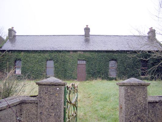 Lake Viewhouse · 238 yd
 The SpectaclesVisitor information · 470 yd
 Pit-burial in LoughgurPit-burial · 528 yd
 Lough Gur Heritage CentreVisitor information · 551 yd
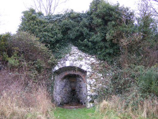 kilnkiln · 577 yd
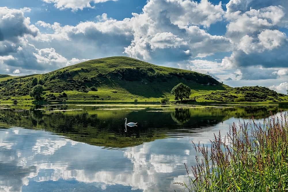 Mound in LoughgurMound · 651 yd
 Pedunculate OakPedunculate Oak · 877 yd
 OultinedBawn · 996 yd
 Garret IslandCastle, unclassified · 1523 yd
 Grange Stone CircleArchaeological place · 1.3 mi
 Lough GurVisitor information · 1.3 mi
 Banoge's WellSpring · 2.1 mi