
What is recorded here
On former rocky pasture 23m NE of the NE shore of Lough Gur beside a 19th century cart track that led to the top of a limekiln. The cart track is 11m NE and parallel to the modern shore-side road. The Food Vessel Burial was located 35m NW of the Lough Gur Visitor’s Centre 1m down slope (SW) from the trackway. The trackway has since been upgraded into the access way to the visitors centre. The site is located within an area of dense archaeological activity dating from the Neolithic up to the present day around Lough Gur (Cleary 2018). The Early Medieval settlement site known as the ‘Spectacles’ at Drumlaegh (LI032-014012-) is located 80m to NNW; a crannóg known as Bolin Island (LI032-027----) located 140m to SW; a Middle Bronze Age house site (LI032-014014-) excavated as part of the same campaign of archaeological excavations that uncovered the Food Vessel Burial was excavated 40m to SE and a ring cairn on the summit of Knockfennell Hill (LI032-014009-) lies 500m to NW.
The Bronze Age burial was discovered during excavations carried out in advance of the construction of the Lough Gur Visitors Centre access path in 1977-8. The burial site was not depicted on historic OSi maps prior to its discovery. The modern access path is visible on OSi orthoimages taken 2005-12 and on the Digital Globe orthoimages taken 2011-2013. Rose Cleary (1982, 7-8) describes the site as follows: ‘During the cutting of Trench 3 a charcoal stained layer was uncovered beneath the modern horizon. This in turn overlay the remains of a flat-bottomed pit which had a maximum diameter of 25cms. The pit contained minute fragments of bone and Food Vessel pottery. Trench 3 was then extended in a south-westerly direction to see if the charcoal flecked layer contained any further evidence of Food Vessel burial or occupation. The layer however petered out within a metre.’ The bone from the burial pit was identified as cremated human bone, although it was too fragmentary to identify the age or sex of the individual. The location spot of the burial is visible on Google Earth orthoimages taken 05/04/2006; 28/06/2018 and 20/09/2020.
See attached Google Earth orthoimages and site plan taken from Cleary 1982
Compiled by: Edmond O’Donovan
Date of upload: 6 November 2020
Pit-burial in Loughgur is a Food Vessel Burial, dating to the Early Bronze Age (c. 2000–1500 BCE). It is significant as an example of a funerary practice involving the deposition of a human skull with a food vessel, reflecting ritual beliefs associated with death and the afterlife in early Irish Bronze Age communities.
The monument record does not grant public access. Check the route and ask the landowner before entering private land.
- What survives
- Recorded monument
Places near here
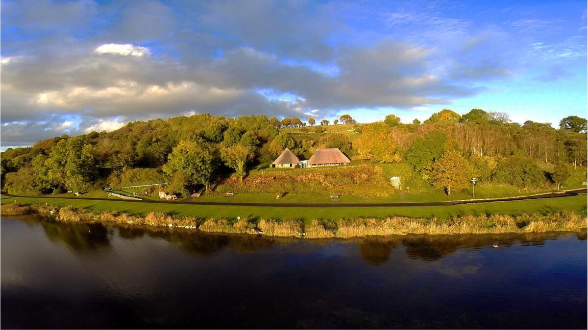 Hut site in LoughgurHut site · 41 yd
 Lough Gur Heritage CentreVisitor information · 48 yd
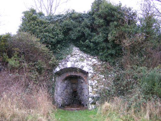 kilnkiln · 73 yd
 The SpectaclesVisitor information · 82 yd
 Bolin IslandCrannog · 186 yd
 Pedunculate OakPedunculate Oak · 350 yd
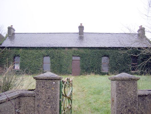 Lake Viewhouse · 445 yd
 Black Castle (in ruins)Castle, tower house · 1033 yd
 Garret IslandCastle, unclassified · 1092 yd
 Grange Stone CircleArchaeological place · 1.1 mi
 Lough GurVisitor information · 1.1 mi
 Banoge's WellSpring · 2.3 mi
Other information
Photo: Credit not shown in the picture search · Rights wording not checked; contact us if this picture should be removed