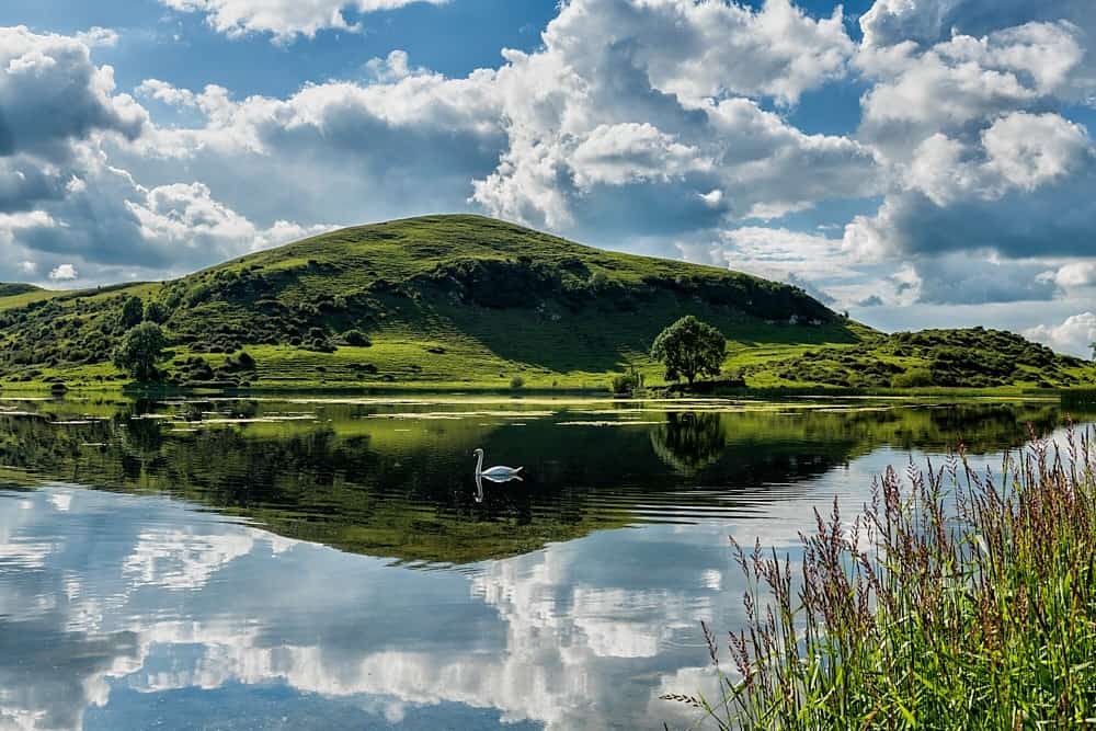
What is recorded here
In pasture 70m NE of the summit of Knocksentry Hill. The site is one of six monuments on and around the hill including the standing stone annotated 'Leagaun' (LI032-051----) located 340m to SW; an earthwork (LI032-056001-) located 75m to SW; an enclosure (LI032-056006-) located 110m to E; a standing stone (LI032-056011-) located 360m to SE and a flat cemetery, annotated ‘Kistvaen Field’ (LI032-055----) 340m to SSW. Circle O (LI032-060----) and Circle P (LI032-059----) are 475m to S.
The site is not depicted on OSi historic maps. The mound is not visible on OSi orthoimage taken 2005-12 nor on the Digital Globe orthoimage taken 2011-2013. It was recorded during an archaeological field inspection by Celie O’Rahilly in 1996 on the E-facing slope of Knocksentry Hill (SMR File). The land was grazed and there were small pockets of natural rock outcrop and associated gorse on the hill. The field boundaries were either stone-faced earthen embankments or stone walls. A trackway extended to the E of the hill. O’Rahilly identified a ‘mound’ immediately W of ‘Field G’. The site is not visible on Google Earth orthoimage taken 28/06/2018 and 20/09/20200.
See attached Google Earth orthoimages
Compiled by: Edmond O’Donovan
Date of upload: 23 November 2020
A Neolithic passage tomb; wider significance not recorded.
The monument record does not grant public access. Check the route and ask the landowner before entering private land.
- What survives
- Recorded monument
Places near here
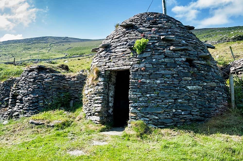 Hut site in LoughgurHut site · 383 yd
 Kistvaen FieldFlat cemetery · 384 yd
 Lough Gur Heritage CentreVisitor information · 755 yd
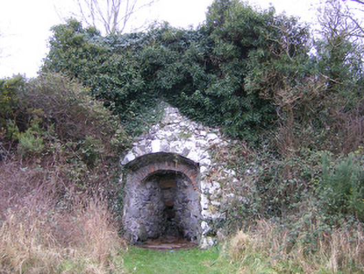 kilnkiln · 760 yd
 The SpectaclesVisitor information · 793 yd
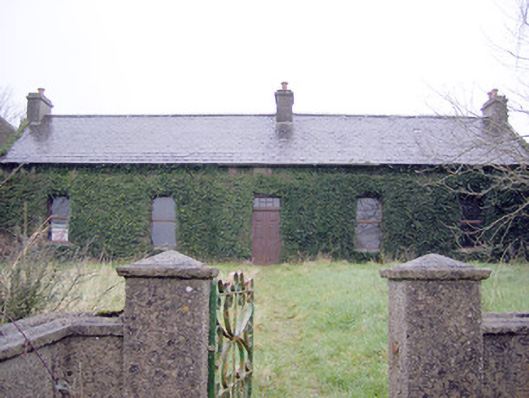 Lake Viewhouse · 845 yd
 Pedunculate OakPedunculate Oak · 1012 yd
 OultinedBawn · 1041 yd
 Black Castle (in ruins)Castle, tower house · 1605 yd
 Grange Stone CircleArchaeological place · 1.5 mi
 Lough GurVisitor information · 1.5 mi
 Banoge's WellSpring · 2.4 mi
Other information
Photo: Credit not shown in the picture search · Rights wording not checked; contact us if this picture should be removed