What is recorded here
Kilroe held two dallans twenty yards apart on a north-east to south-west line, the first rising four feet with a girth of nine feet three inches. That stone has vanished without a trace, leaving only the ghost of its shape and the forgotten woman whose land it marked. What remains is an empty rectangle of grass where human hands once arranged stone, waiting for someone to remember the weight of what they moved.
This is one of two 'dallans' (see CO032-168----) recorded by Bowman (2000, 14) in 'Mrs. O'Briens' in Kilroe being '25 yards [20m] apart. Orientation, N.E and S.W.' This standing stone is described by Bowman (ibid.) as '(a) on N.E., 4 ft. [1.22m] by 9'3" [2.81m] in girth.' There is no visible trace of this standing stone.
The above description is derived from 'The Archaeological Inventory of County Cork. Volume 5' (Dublin: Stationery Office, 2009).
Date of upload: 22 December 2009
This remains an important historical record, but the official description says the monument is no longer visible or has been destroyed. The monument record does not grant public access. Check the route and ask the landowner before entering private land.
- What survives
- No visible remains or recorded as destroyed
Places near here
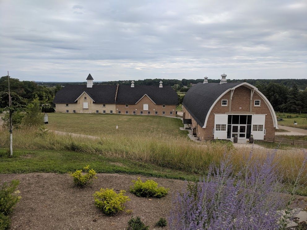 Man-made underground passage in Dromrastill,woodparkMan-made underground passage · 497 yd
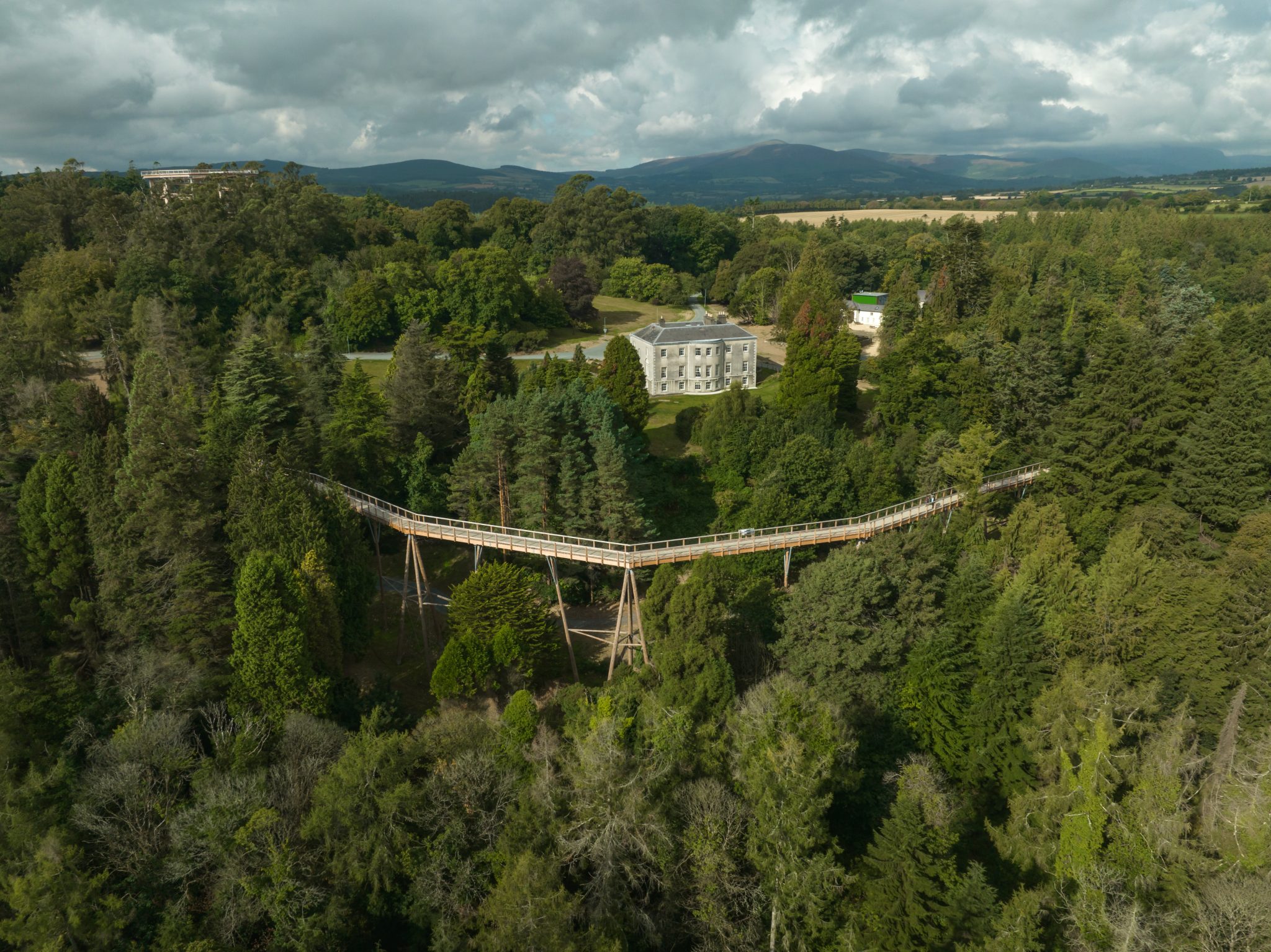 Fulacht fia in WoodparkFulacht fia · 926 yd
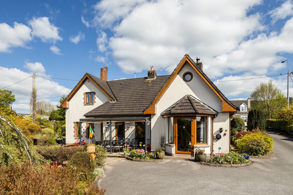 Ballythomas HouseCountry house · 1223 yd
 WoodparkCountry house · 1571 yd
 Lohort CastleCastle, tower house · 1.5 mi
 Gurteenkreen Castle (Site of)Castle, unclassified · 1.9 mi
 Dromaneen CastleHeritage attraction · 2.1 mi
 Graveyard in Ballygiblin (duhallow By.)Graveyard · 2.6 mi
 European YewEuropean Yew · 3.5 mi
 Mount HillaryMountain / peak · 3.6 mi
 Mount Hillary - Knightfield LoopWalking route · 3.7 mi
 Burial ground in AssolasBurial ground · 3.7 mi