What is recorded here
First recorded on http://www.prehistoricwaterford.com/ and situated on the SW-facing slope of a hill. This is an Old Red Sandstone conglomerate stone (dims. 0.9m x 0.3-0.35m; H 1.5m) oriented ENE-WSW, with an irregular W edge to its profile. Standing stone (WA015-114----) is c. 400m to the SW.
Compiled by: Michael Moore
Date of upload: 30 January, 2012.
Likely dating to the Neolithic or Early Bronze Age, this standing stone may have functioned as a territorial marker, ceremonial focus, or astronomical alignment point. No specific folklore or inscriptions are recorded, though its orientation suggests possible ritual or symbolic use.
The monument record does not grant public access. Check the route and ask the landowner before entering private land.
- What survives
- Recorded monument
Places near here
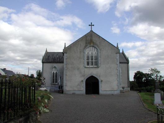 Saint Anne's Catholic ChurchOfficially recorded historic building · 1123 yd
 Holy WellHoly well · 1185 yd
 IndicatedFairy fort / ringfort · 1438 yd
 Church in KilcanaveeChurch · 1.1 mi
 Croughaun HillMountain / peak · 1.5 mi
 Site of Cas.Castle, unclassified · 1.7 mi
 8 Arch GalleryGallery · 1.8 mi
 Castle (in ruins)Castle, unclassified · 1.9 mi
 Kilclooney WoodForest · 2.5 mi
 Crough WoodWood · 3.2 mi
 CoumshingaunMountain corrie and lake · 3.7 mi
 LackaduffMountain / peak · 3.7 mi