What is recorded here
Situated on a gentle N-facing slope in rolling pasture. Upright conglomerate slab (H 0.8-0.9m; Wth 1.1m; Th. 0.4m), long axis oriented NW-SE. The slab is convex on ENE face, concave on WSW face.
Compiled by: Denis Power
Date of upload: 28 June 2013
Likely dating to the Neolithic or Bronze Age, this standing stone may have functioned as a territorial marker, ceremonial focus, or astronomical alignment point. No specific folklore or detailed use is recorded for the site.
The monument record does not grant public access. Check the route and ask the landowner before entering private land.
- What survives
- Recorded monument
Places near here
 Site of Killanoher Burial Gd.Children's burial ground · 669 yd
 Greenan CastleCastle · 982 yd
 Enclosure in SkahardEnclosure · 1024 yd
 Bawn in CarrigarreelyBawn · 1070 yd
 Highpark Housecountry house · 1103 yd
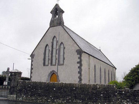 Catholic Church of the Immaculate Heart of Marychurch/chapel · 1473 yd
 Wych ElmWych Elm · 1627 yd
 St Lawrence's WellSpring · 1.1 mi
 Skool HillMountain / peak · 4.1 mi
 Graveyard in AbingtonGraveyard · 4.1 mi
 Banoge's WellSpring · 4.2 mi
 Campus MapVisitor information · 5.3 mi