What is recorded here
Situated in a gentle depression on the steep N-facing slope of a ridge in rolling pasture with good views in all directions. Upright conglomerate slab (H 2-2.2m; Wth 1.3-1.9m; Th. 0.4m), long axis orientated NE-SW. It is concave on the SE face and flat on the N face. The stone is partially obscured at the base by brambles.
Compiled by: Denis Power
Date of upload: 28 June 2013
Probably dates to the Neolithic or Bronze Age, given its form and orientation. Likely served as a territorial marker or ceremonial focus, though specific folklore or use is not recorded.
The monument record does not grant public access. Check the route and ask the landowner before entering private land.
- What survives
- Recorded monument
Places near here
 Site of Killanoher Burial Gd.Children's burial ground · 780 yd
 Greenan CastleCastle · 811 yd
 Enclosure in SkahardEnclosure · 1010 yd
 Highpark Housecountry house · 1316 yd
 Bawn in CarrigarreelyBawn · 1317 yd
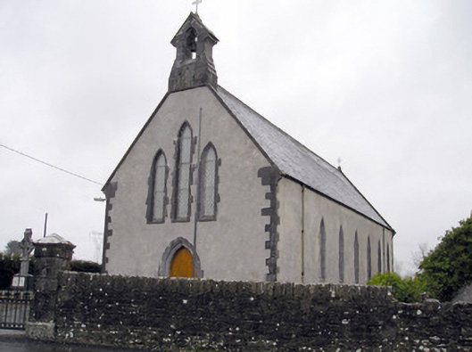 Catholic Church of the Immaculate Heart of Marychurch/chapel · 1320 yd
 Wych ElmWych Elm · 1403 yd
 St Lawrence's WellSpring · 1.0 mi
 Skool HillMountain / peak · 3.9 mi
 Banoge's WellSpring · 4.0 mi
 Graveyard in AbingtonGraveyard · 4.2 mi
 Campus MapVisitor information · 5.3 mi