What is recorded here
Meltwater and mammoth ivory sculpted the chamber before human hands entered the story. Grangegeeth records a standing stone at the plateau edge, but the chamber belongs to the last ice retreat when water carried life into new territory. The stone may have marked the place where people first saw the chamber or first lost someone beside it.
Located at the N edge of a plateau, close to the crest of the N-facing slope. This is depicted only on the 1908 edition of the OS 6-inch map where it is annotated in italic lettering as ‘Standing Stone’. This stone (H 1.05m) is described in 1968 (SMR file) as having a rectangular cross-section (dims of base 0.5-0.7m NW-SE; 0.35-0.5m NE-SW) that narrows to the rounded and polished top (dims 0.3m NW-SE; 0.2m NE-SW).
The above description is derived from the published 'Archaeological Inventory of County Meath' (Dublin: Stationery Office, 1987). In certain instances the entries have been revised and updated in the light of recent research.
Compiled by: Michael Moore
Date of upload: 10 July 2007
Amended: 3 August 2022
The monument record does not grant public access. Check the route and ask the landowner before entering private land.
- What survives
- Recorded monument
Places near here
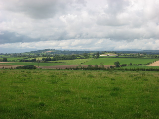 IndicatedEnclosure · 747 yd
 Site of Old CastleCastle, unclassified · 909 yd
 Enclosure in GrangegeethEnclosure · 1390 yd
 Cloghar WoodForest · 1553 yd
 Boyle's Fox CovertWood · 2.2 mi
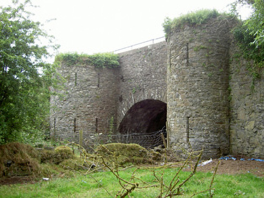 bridgebridge · 2.3 mi
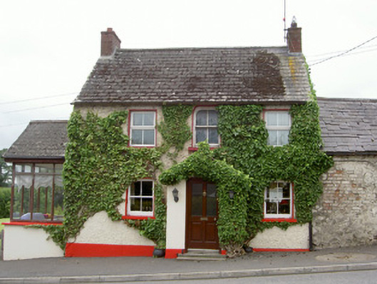 Forge Househouse · 2.4 mi
 Mount OrielMountain / peak · 2.4 mi
 Hurcle HillMountain / peak · 2.6 mi
 Irish Military Museum And ParkMuseum · 2.7 mi
 MoatCastle, motte · 2.8 mi
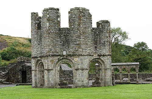 Mellifont AbbeyHeritage attraction · 3.0 mi