
What is recorded here
Situated on the summit of the Hill of Slane, which is one of the highest hills in lowland Meath, affording wide views over the surrounding countryside where, when not obscured by trees, the hills of Skreen, Tara, the Hill of Lloyd, Slieve na Caillaighe, Slieve Breagh and Mount Fortescue can be identified on the horizon. The hill would have been important in prehistory, and the Síl nÁedo Sláine dynasty of the Uí Néill originated in Slane, which is probably why Saint Patrick came here, to Ferta Ferr Féicc – the burial ditches of Fécc, to light the first defiant Pascal fire. During the high Middle Ages Slane became the caput or centre for the barony of Slane which was granted to Richard le Fleming in 1172 by Hugh de Lacy, and a castle – Dumhach Sláine – the mound or barrow of Slane - had been built by 1176 when it was burned by Mael Seachlainn Ó Lochlainn. A hundred men were killed on this occasion with women and children in addition. This was undoubtedly an earthen motte castle, although it may have been built over an important prehistoric barrow. In its present form this monument is a motte, although it has some features of a Ceremonial enclosure such as the association of a mound and a large earthwork enclosure (Herity 1993, 145-6). However, the large enclosure could also be the result of post-medieval landscaping. (Bradley and King 1985, 140-1)
This is a flat-topped, grass and tree-covered mound of earth (diam. of base 45m; diam. of top 19-21m; H 6.5m at SE to 7.8m at NW) defined by a wide rock-cut ditch (Wth of top c. 8-12m; ext. D 1.3-1.5m), with traces of an outer bank (Wth c. 2m; ext. H 0.3m) at N and S. There is an earthen bank with some drystone walling around the summit, especially evident at N. The motte is centrally placed within a large perfectly circular enclosure (ext. diam. c. 120m) defined by an earthen bank (at SE: Wth of base 3.6m; int. H 0.4m; ext. H 1.3m) and an outer fosse or ditch (at SE: Wth of top 1.6m; Wth of base 1m; ext. D 0.4m) which is best preserved E-S-NW and could be the boundary of a tree-ring. At SE the bank and ditch are built on or against the scarp of an earthwork (ME019-060015-), which is probably a rath. St Patrick's church (ME019-060002-) and the residence known as the College (ME019-060008-) are lower down the hill c. 130-170m to the E. (Seaver & Brady 2011)
The above description is derived from the published 'Archaeological Inventory of County Meath' (Dublin: Stationery Office, 1987). In certain instances the entries have been revised and updated in the light of recent research.
Compiled by: Michael Moore
Date of upload: 28 March 2012
Amended: 27 January 2021
The castle was built by the MacGiolla Phádraig (O'Toole) family in the 13th century and later held by the Butler family during the medieval period. It is important as a strategic and historical site associated with the control of central Leinster and the broader political dynamics of medieval Ireland.
The monument record does not grant public access. Check the route and ask the landowner before entering private land.
- What survives
- Recorded monument
Places near here
 Monastic RuinsChurch · 204 yd
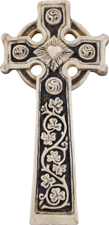 Slane Abbey CrossMonument · 215 yd
 Hill of Slane WoodWood · 218 yd
 MonasteryEcclesiastical residence · 234 yd
 Glentis ClumpWood · 305 yd
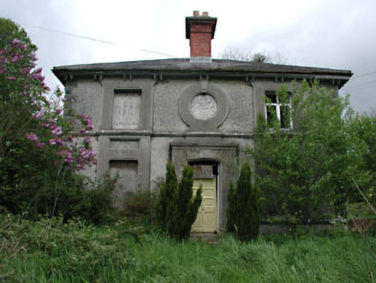 worker's houseworker's house · 661 yd
 Pat's Art StudioGallery · 1068 yd
 RiverviewMemorial · 1429 yd
 Slane CastleCastle, unclassified · 1432 yd
 Fennor CastleCastle · 1.2 mi
 KnowthArchaeological place · 2.5 mi
 Slieve BreaghMountain / peak · 3.8 mi
Other information
Photo: Credit not shown in the picture search · Rights wording not checked; contact us if this picture should be removed