What is recorded here
Located at the crest of the E-facing slope of the Hill of Slane. This is a circular and flat-topped grass-covered area (diam. 38m N-S; 37m E-W) with some trees that slopes down slightly to the SE. It is defined by a scarp (at E: Wth 3.5m; H 0.5m; at SW: Wth 6.5m; H 2.1m), with an outer fosse (at SW: Wth of top 5m; Wth of base 3.3m; ext. D 0.4m) SW-NW. There is no visible original entrance, and the bank and ditch of the large enclosure (ME019-109----) around the motte (ME019-060001-) are built against the scarp at NW.
The above description is derived from the published 'Archaeological Inventory of County Meath' (Dublin: Stationery Office, 1987). In certain instances the entries have been revised and updated in the light of recent research.
Compiled by: Michael Moore
Date of upload: 10 July 2007
Amended: 27 January 2021
The monument record does not grant public access. Check the route and ask the landowner before entering private land.
- What survives
- Recorded monument
Places near here
 MoatCastle, motte · 89 yd
 Monastic RuinsChurch · 133 yd
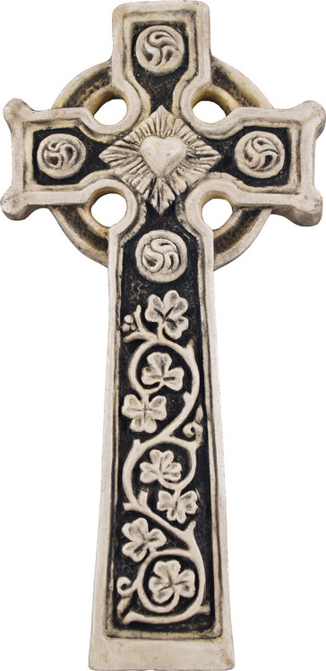 Slane Abbey CrossMonument · 145 yd
 MonasteryEcclesiastical residence · 175 yd
 Mountcharles ClumpWood · 295 yd
 Hill of Slane WoodWood · 299 yd
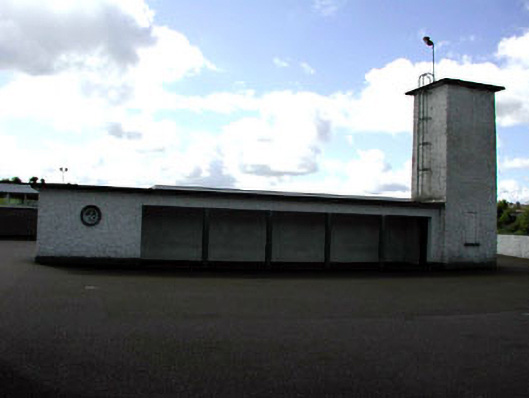 Saint Patrick's National Schoolwater tower · 649 yd
 Pat's Art StudioGallery · 1015 yd
 RiverviewMemorial · 1375 yd
 Slane CastleCastle, unclassified · 1473 yd
 KnowthArchaeological place · 2.4 mi
 Slieve BreaghMountain / peak · 3.8 mi