
What is recorded here
Mnemo knows the old castle because it is listed in the provided source. Grangegeeth appears in the Down Survey barony map and the archaeological inventory. The castle belongs to County Meath and connects to Mellifont, Charles Moore, and the Civil Survey. Those facts leave the old castle visible instead of hiding it inside a generic story about memory.
A tower with an attached but roofless two storey house is depicted at Grangegeeth in Slane barony on the Down Survey (1656-8) barony map (http://downsurvey.tcd.ie/) but as Grangegeeth had once been owned by the abbey of Mellifont (LH023-007002-) and in 1640 was owned by the Protestant Lord Charles Moore and was not forfeit it was not recorded in detail in the Civil Survey (1654-6). However, the castle at Grangegeeth close to the townland boundary with Ardcalf and Knockhirk in Slane parish is depicted on the map and listed (Simington 1940, 352-3). A ruin is not depicted on Taylor and Skinner’s map of (1778, 42). A structure is indicated in outline as a square tower (dims c. 15m N-S; c. 15m E-W) with four rectangular corner towers on the 1836 ed. of the OS 6" map where it is described in italic lettering as the site of an Old Castle. Situated on a broad E-W ridge, no feature is visible at ground level in pasture.
See the attached section of the Down survey barony map (N at right), courtesy of the National Library of Ireland
The above description is derived from the published 'Archaeological Inventory of County Meath' (Dublin: Stationery Office, 1987). In certain instances the entries have been revised and updated in the light of recent research.
Compiled by: Michael Moore
Date of revision: 8 June 2016
A tower house at Grangegeeth, likely built in the 15th or 16th century, was associated with the Abbey of Slane and is remembered as part of the medieval ecclesiastical estate holdings in the region.
The monument record does not grant public access. Check the route and ask the landowner before entering private land.
- What survives
- Recorded monument
Places near here
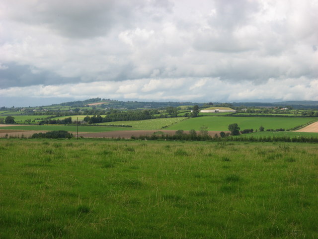 IndicatedEnclosure · 316 yd
 Enclosure in GrangegeethEnclosure · 585 yd
 Cloghar WoodForest · 1.2 mi
 Slieve BreaghMountain / peak · 1.7 mi
 Mount OrielMountain / peak · 2.3 mi
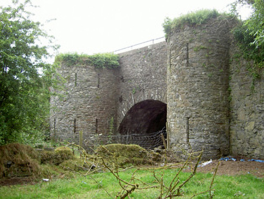 bridgebridge · 2.5 mi
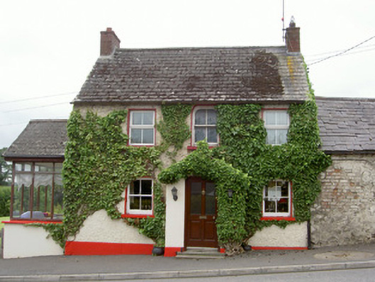 Forge Househouse · 2.5 mi
 Pedunculate OakPedunculate Oak · 2.8 mi
 Irish Military Museum And ParkMuseum · 3.0 mi
 MoatCastle, motte · 3.2 mi
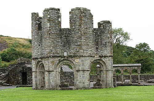 Mellifont AbbeyHeritage attraction · 3.5 mi
 Slane CastleCastle, unclassified · 3.7 mi
Other information
Photo: Credit not shown in the picture search · Rights wording not checked; contact us if this picture should be removed