What is recorded here
Marianne Spender Rock stands on a bog ridge above Gortnakilla, its flat face catching light while heather sways around the base. People may have set it upright to mark a boundary, honour a loss or simply watch the valleys change with weather. It still performs that old job, holding attention steady in an open landscape where everything else keeps moving.
In rough heather and gorse covered grazing on a N-S bog-covered ridge with views over the surrounding hills and valleys. An upright stone slab (H 1.15m; 1.7m x 0.37m), roughly rectangular in plan and elevation, and orientated NE-SW.
Compiled by: Elizabeth Byrne, Ursula Egan and Sheila Ronan, Archaeological Survey Unit, University College, Cork.
Date of upload: 31 January 2011
Probably dating to the Late Neolithic or Bronze Age, this standing stone may have functioned as a territorial marker, ceremonial monument, or astronomical alignment feature. No specific folklore is recorded, but its position on a prominent ridge suggests a symbolic or ritual significance in the prehistoric landscape.
The monument record does not grant public access. Check the route and ask the landowner before entering private land.
- What survives
- Recorded monument
Places near here
 SheepfoldHut site · 626 yd
 Fulacht fia in Gort An TsléibheFulacht fia · 937 yd
 Loo Br.Bridge · 1339 yd
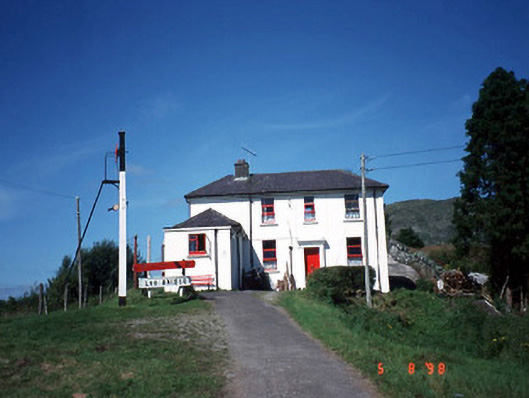 railway stationrailway station · 1438 yd
 CoolcurtogaMountain / peak · 1.8 mi
 CoomagearlahyMountain / peak · 2.0 mi
 Killaha Castle (in Ruins)Castle, tower house · 4.6 mi
 Hidden Valley Pet FarmHeritage attraction · 5.4 mi
 Sli Gaeltacht MuscraiWalking route · 6.0 mi
 Battle of Callannbattle · 7.6 mi
 Torc WaterfallWaterfall · 8.3 mi
 Muckross Lake WalkWalking route · 8.4 mi