What is recorded here
Notch cut halfway up its south-east face, the standing stone in Gortnaboul Lower rises one metre twenty-five through rough pasture beside the Cummeenboy stream. Whether a marker, a boundary or a forgotten altar, it has watched the water turn and the grass grow for longer than memory serves.
In rough pasture, on an E-facing slope, on the W side of the Cummeenboy stream. This standing stone (0.8m x 0.3m; H 1.25m) is roughly rectangular in plan and section and is orientated NNW-SSE. It has a notch midway along its SSE side.
The above description is derived from the published 'Archaeological Inventory of County Kerry. Volume I: South-West Kerry' (Dublin: Stationery Office, 2009). In certain instances the entries have been revised and updated in the light of recent research.
Date of upload: 30 May 2011
The monument record does not grant public access. Check the route and ask the landowner before entering private land.
- What survives
- Recorded monument
Places near here
 Man-made underground passage in Gortnaboul LowerMan-made underground passage · 542 yd
 Enclosure in Istalea UpperEnclosure · 649 yd
 KnockanaguishMountain / peak · 771 yd
 CoombaneMountain / peak · 1020 yd
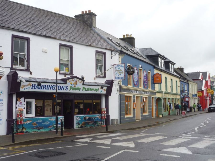 Sahaleen Br.Bridge · 2.4 mi
 Derrycunihy Catholic Churchchurch/chapel · 2.5 mi
 Shanagarry Castle (Site of)Castle, unclassified · 2.7 mi
 ruined castleCastle · 2.7 mi
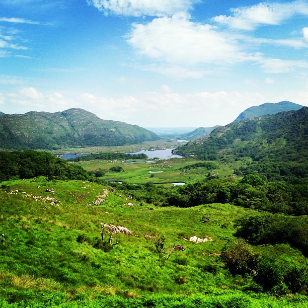 Ladies ViewViewpoint · 2.9 mi
 Derrycunihy Nature ReserveNature reserve · 2.9 mi
 Kissane Sheep FarmHeritage attraction · 3.2 mi
 The Lodge WoodWood · 3.4 mi