What is recorded here
On a level area of extensive cutaway bog. This standing stone (dims. 0.55m x 0.37m; H 1m) is diamond-shaped in plan and rectangular in shape and orientated NE-SW.
Compiled by: Elizabeth Byrne, Ursula Egan and Sheila Ronan, Archaeological Survey Unit, University College, Cork.
Date of upload: 31 January 2011
Probably dating to the late Neolithic or Bronze Age, this standing stone may have had ceremonial or territorial significance. Its orientation and placement on a raised area suggest a possible alignment with seasonal or astronomical events, though specific folklore or use remains unrecorded.
The monument record does not grant public access. Check the route and ask the landowner before entering private land.
- What survives
- Recorded monument
Places near here
 SheepfoldHut site · 491 yd
 Fulacht fia in Gort An TsléibheFulacht fia · 961 yd
 Loo Br.Bridge · 1696 yd
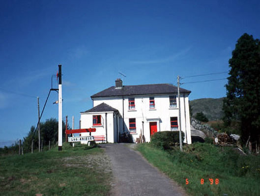 railway stationrailway station · 1.0 mi
 CoomagearlahyMountain / peak · 1.7 mi
 Coomagearlahy W TopMountain / peak · 1.7 mi
 Killaha Castle (in Ruins)Castle, tower house · 4.9 mi
 Hidden Valley Pet FarmHeritage attraction · 5.2 mi
 Sli Gaeltacht MuscraiWalking route · 5.8 mi
 Battle of Callannbattle · 7.3 mi
 Torc WaterfallWaterfall · 8.3 mi
 Muckross Lake WalkWalking route · 8.5 mi