What is recorded here
Three stones in a row on a hillside in County Kerry, one single and two paired, with a small cairn nearby, all facing down toward the Loo River valley. The main stone is seventy-five centimetres wide and sixty centimetres high, tapering from a thick NE end to a thin SW edge like a blade laid flat on the ground. Whoever set them there chose a terrace where the slope opens suddenly, as if marking a line of sight rather than a boundary.
In rough hill pasture, on a terrace on a N-facing slope, overlooking the Loo River valley. This standing stone (Wth 0.75m; H 0.6m) narrows in plan from its NE end (T 0.45m) to its SW end (T 0.2m) and is orientated NE-SW. There is a standing stone-pair (KE086-004001-) c. 3m to the N and a radial-stone cairn (KE086-004003-) c. 9m to the SE.
Compiled by: Elizabeth Byrne, Ursula Egan and Sheila Ronan, Archaeological Survey Unit, University College, Cork.
Date of upload: 31 January 2011
The monument record does not grant public access. Check the route and ask the landowner before entering private land.
- What survives
- Recorded monument
Places near here
 SheepfoldHut site · 668 yd
 Fulacht fia in Gort An TsléibheFulacht fia · 744 yd
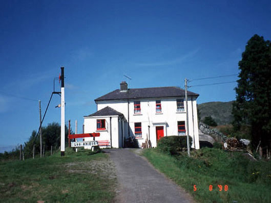 railway stationrailway station · 1714 yd
 Loo Br.Bridge · 1734 yd
 Freaghhanagh HillMountain / peak · 1.4 mi
 Coomagearlahy W TopMountain / peak · 1.5 mi
 Hidden Valley Pet FarmHeritage attraction · 4.7 mi
 Killaha Castle (in Ruins)Castle, tower house · 4.7 mi
 Sli Gaeltacht MuscraiWalking route · 6.0 mi
 Great Southern & Western RailwayMemorial · 6.3 mi
 Battle of Callannbattle · 6.9 mi
 Torc WaterfallWaterfall · 7.9 mi