What is recorded here
Carnanbreaga still holds its edge on the Louth skyline, but the upright stone has vanished from the ridge. That absence, rather than any dramatic theft, explains why the site resists easy description. The ridge may have marked territory, guided travellers or warned people away from unstable ground. Whatever it meant, it stopped being visible when the stone disappeared.
The following description is derived from both the published 'Archaeological Inventory of County Louth' (Dublin: Stationery Office, 1986) and the 'Archaeological Survey of County Louth' (Dublin: Stationery Office, 1991). In certain instances the entries have been revised and updated in the light of recent research.
Date of upload/revision: 17 July 2007
Situated on the upper E slopes of a high outcrop ridge called 'Carnanbreaga'. The stone is roughly rectangular in plan (H 1.6m, 0.9m by 0.4m in section) with the narrow sides orientated E-W. There are some recent scored marks at the NE corner but also the weathered remains of what may be an ogham inscription at a height of 0.5-1.25m.
The monument record does not grant public access. Check the route and ask the landowner before entering private land.
- What survives
- Recorded monument
Places near here
 ToberanelshyHoly well · 812 yd
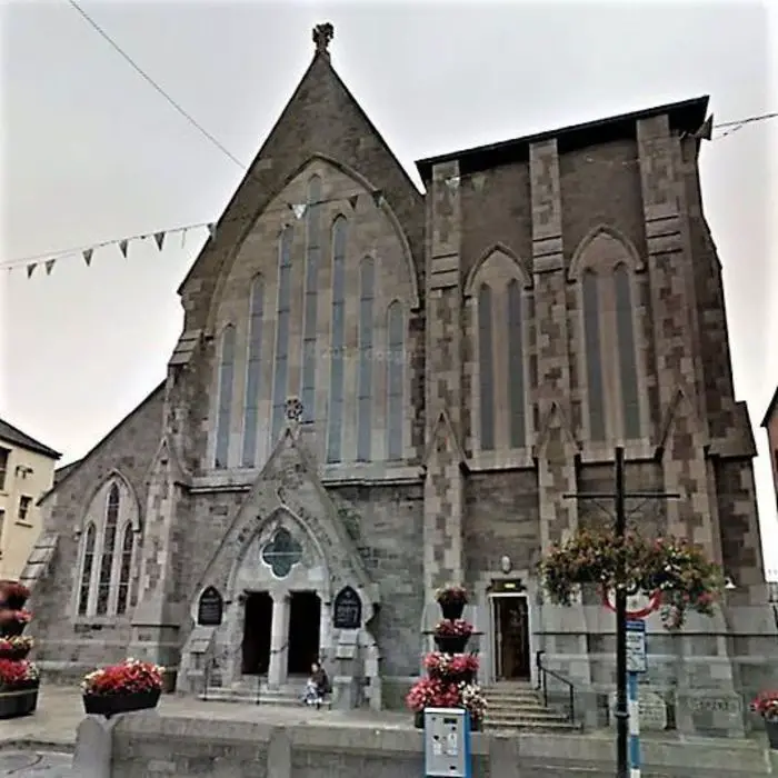 Church (in ruins)Church · 1083 yd
 Mass-rock in KearneystownMass-rock · 1193 yd
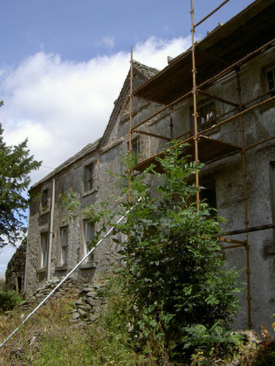 Cartanstown Househouse · 1365 yd
 CastleCastle, motte · 1486 yd
 Chapel (in Ruins), GraveyardChurch · 1.4 mi
 MonasterboiceEarly monastic site · 2.7 mi
 Muiredach's High CrossHeritage attraction · 2.8 mi
 BarabonaMountain / peak · 3.6 mi
 IndicatedCastle, tower house · 3.7 mi
 Black HillMountain / peak · 4.7 mi
 Pedunculate OakPedunculate Oak · 5.3 mi