
What is recorded here
A small, almost oval, flat-topped mound (dims 18m N-S; 31m E-W at base; H 4.5m) which has been quarried extensively at the NNE side and disturbed at the W and S by the building of a modern boundary wall. There is no evidence for a fosse or bailey and the immediate area around the mound has been intensively cultivated. A possible deserted medieval village (LH021-027001-) lies just to the W of the motte.
The above description is derived from both the published 'Archaeological Inventory of County Louth' (Dublin: Stationery Office, 1986) and the 'Archaeological Survey of County Louth' (Dublin: Stationery Office, 1991). In certain instances the entries have been revised and updated in the light of recent research.
Date of upload: 17 July 2007
A local castle; wider significance not recorded.
The monument record does not grant public access. Check the route and ask the landowner before entering private land.
- What survives
- Recorded monument
Places near here
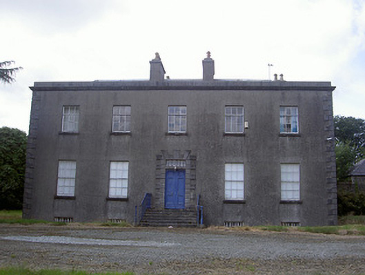 Piperstown Housecountry house · 409 yd
 Church (in Ruins)Church · 989 yd
 ToberanelshyHoly well · 1.2 mi
 Man-made underground passage in BrittasMan-made underground passage · 1.3 mi
 Chapel (in Ruins), GraveyardChurch · 2.0 mi
 CarstownCastle, unclassified · 2.0 mi
 MonasterboiceEarly monastic site · 2.7 mi
 Muiredach's High CrossHeritage attraction · 2.7 mi
 BarabonaMountain / peak · 3.5 mi
 Castle (Site of)Castle, tower house · 3.6 mi
 Yellow IslandIslet · 4.7 mi
 Grove IslandIslet · 4.7 mi
Other information
Photo: Credit not shown in the picture search · Rights wording not checked; contact us if this picture should be removed