What is recorded here
Cairn is a circular earth and stone platform in County Louth, reaching nineteen metres across and half a metre high, with a faint stone kerb still visible at its edge. Locals call it The Moat, though no water remains there to justify the name. It stands as a quiet mark of human presence, perhaps a boundary, a meeting place or a burial mound, its true purpose buried beneath centuries of grass and rain.
The following description is derived from both the published 'Archaeological Inventory of County Louth' (Dublin: Stationery Office, 1986) and the 'Archaeological Survey of County Louth' (Dublin: Stationery Office, 1991). In certain instances the entries have been revised and updated in the light of recent research.
Date of upload/revision: 17 July 2007
Circular platform of earth and stones (max. diam. 19m, H 0.5m) with traces of a stone kerb around the perimeter. Locally known as 'The Moat'.
The monument record does not grant public access. Check the route and ask the landowner before entering private land.
- What survives
- Recorded monument
Places near here
 Church (in Ruins)Church · 117 yd
 CastleCastle, motte · 871 yd
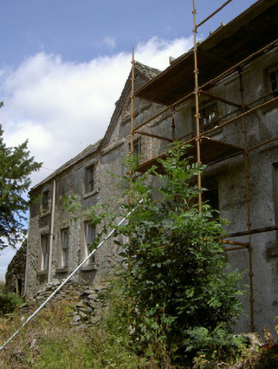 Cartanstown Househouse · 1081 yd
 Man-made underground passage in BrownstownMan-made underground passage · 1695 yd
 ToberanelshyHoly well · 1.3 mi
 MonasterboiceEarly monastic site · 2.2 mi
 Muiredach's High CrossHeritage attraction · 2.2 mi
 CarstownCastle, unclassified · 2.2 mi
 Chapel (in Ruins), GraveyardChurch · 2.4 mi
 BarabonaMountain / peak · 3.1 mi
 Yellow IslandIslet · 4.3 mi
 Grove IslandIslet · 4.3 mi