
What is recorded here
The following description is derived from both the published 'Archaeological Inventory of County Louth' (Dublin: Stationery Office, 1986) and the 'Archaeological Survey of County Louth' (Dublin: Stationery Office, 1991). In certain instances the entries have been revised and updated in the light of recent research.
Date of upload/revision: 17 July 2007
Consisting of the grass covered foundations of an undivided rectangular structure (int. dims. 12m by 4m) and situated within the remains of a formerly oval or circular embanked enclosure (max. dims. 35m E-W, 30m N-S). There is an opening in the S wall near the W gable and one in the N almost opposing it. Although it now appears featureless, the opposing openings in the N and S walls suggest a small late medieval parish church. (CLAJ 1908, 38)
A local church or high cross; wider significance not recorded.
The monument record does not grant public access. Check the route and ask the landowner before entering private land.
- What survives
- Recorded monument
Places near here
 CastleCastle, motte · 989 yd
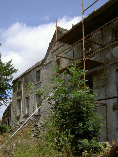 Cartanstown Househouse · 1083 yd
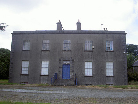 Piperstown Housecountry house · 1325 yd
 Man-made underground passage in BrownstownMan-made underground passage · 1578 yd
 ToberanelshyHoly well · 1.3 mi
 MonasterboiceEarly monastic site · 2.1 mi
 Muiredach's High CrossHeritage attraction · 2.2 mi
 CarstownCastle, unclassified · 2.3 mi
 BarabonaMountain / peak · 3.0 mi
 Yellow IslandIslet · 4.3 mi
 Grove IslandIslet · 4.3 mi
 Black HillMountain / peak · 4.3 mi
Other information
Photo: Credit not shown in the picture search · Rights wording not checked; contact us if this picture should be removed