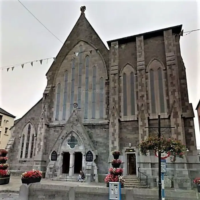
What is recorded here
The following description is derived from both the published 'Archaeological Inventory of County Louth' (Dublin: Stationery Office, 1986) and the 'Archaeological Survey of County Louth' (Dublin: Stationery Office, 1991). In certain instances the entries have been revised and updated in the light of recent research.
Date of upload/revision: 17 July 2007
Undivided nave and chancel (int. dims. c. 17.25m by c. 6.80m), built of uncoursed limestone slabs, boulders and greywacke. The building has been heavily buttressed on all four corners and along the S wall. It has a doorway in the S wall (W end) and a window in the E gable, but is otherwise featureless. The doorway is still intact but is obviously rebuilt since it has a straight joint c. 50cm to the E of the E jamb running the full height of the wall. There is a reveal on each side of the doorway and the jambs are constructed with a hard grey sandstone. The arch is two-centred, built of limestone slabs, and has a keystone.
When the church was inspected and recorded in 1966 by the Archaeological Survey the remains of a three-light E window could be seen, but when visited in 1985 this had collapsed outwards and had been partly covered by large stones from field clearance. It was apparently a single-light lancet window with a two-centred arch of sandstone with a blocked light on each side. It seems originally to have had a large three-light window with hard grey sandstone, chamfered and diagonally tooled, possibly of late thirteenth-century date. Little remains of the featureless N and W walls. The remains are probably basically of a sixteenth-century date, but parts of the doorway and E window indicate some late thirteenth-century building.
The church had the remains of a graveyard around it and part of a low earthen bank to its E which may have been the remnants of an early enclosure (LH021-018002-), but this has now been levelled. Holy Trinity Priory, Dublin, had a cell of three canons of the Church of St Mary's, Drumshallon, but it was suppressed in 1240-6 and became parochial (Gwynn and Hadcock 1988,170). (CLAJ 1944, 280-2)
The monument record does not grant public access. Check the route and ask the landowner before entering private land.
- What survives
- Recorded monument
Places near here
 Man-made underground passage in BrittasMan-made underground passage · 1029 yd
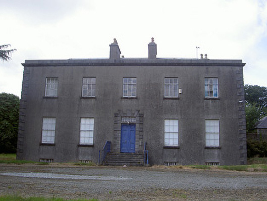 Piperstown Housecountry house · 1288 yd
 CastleCastle, motte · 1363 yd
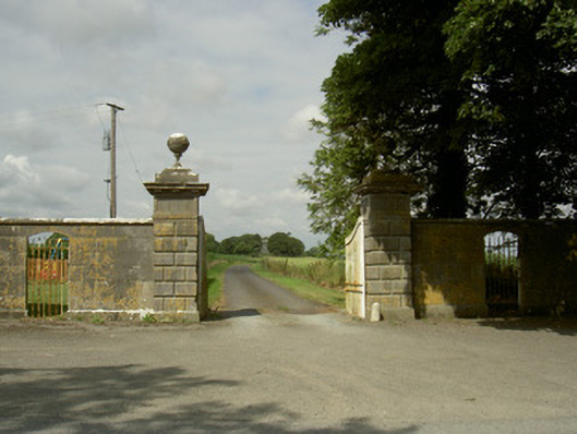 Rokeby Hallgates/railings/walls · 1648 yd
 Holy well in CarrickbaggotHoly well · 1703 yd
 Chapel (in Ruins), GraveyardChurch · 1.2 mi
 MonasterboiceEarly monastic site · 3.2 mi
 Muiredach's High CrossHeritage attraction · 3.2 mi
 Castle (Site of)Castle, tower house · 3.5 mi
 BarabonaMountain / peak · 4.1 mi
 Yellow IslandIslet · 5.4 mi
 Grove IslandIslet · 5.5 mi
Other information
Photo: Credit not shown in the picture search · Rights wording not checked; contact us if this picture should be removed