What is recorded here
In pasture, on a S-sloping ridge to the N of Adrigole church. This standing stone (1.1m x 0.62m; H 1.05m) is rectangular in plan and is orientated E-W.
The above description is derived from 'The Archaeological Inventory of County Cork. Volume 5' (Dublin: Stationery Office, 2009).
Date of upload: 22 December 2009
The monument record does not grant public access. Check the route and ask the landowner before entering private land.
- What survives
- Recorded monument
Places near here
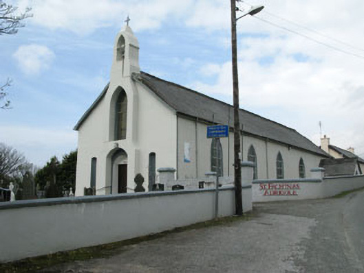 St. Fachtna's Roman Catholic Churchchurch/chapel · 48 yd
 Graveyard in DrumlaveGraveyard · 75 yd
 Hungry Hill GalleryGallery · 403 yd
 West Cork Sailing & Powerboating CentreHeritage attraction · 590 yd
 Orthon's IslandIslet · 1001 yd
 Boulder-burial in Cappaleigh NorthBoulder-burial · 1337 yd
 Stone CircleHut site · 1598 yd
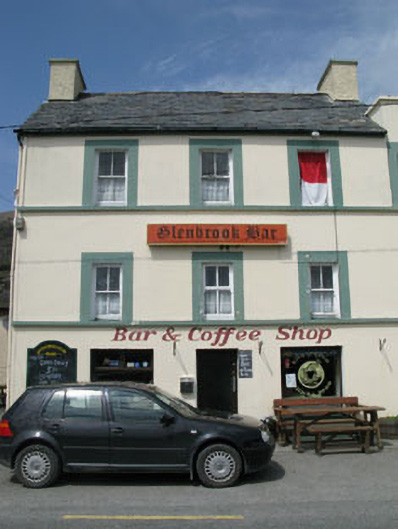 hotelhotel · 1.1 mi
 Mass MountMountain / peak · 1.3 mi
 Shot HeadHeadland · 1.6 mi
 Adrigole MountainMountain / peak · 1.8 mi
 Loughure IslandIslet · 2.1 mi