What is recorded here
One of two stones in Dromcummer More, recorded by Bowman in 1934, still stands about two hundred yards east of the first fort. A section has broken away, leaving a stub one foot high and eight feet four inches around. The exact spot has slipped from local memory, but the stone remains a visible marker of the area's older depth.
One of two stones (9967) recorded by Bowman (1934, 213) in this townland; 'In Mrs O'Callaghan's, c. 200 yards E of fort 1 [12443]. Part has been broken off, remaining portion c. 1ft high by 8ft 4in girth'. Exact location not known.
The above description is derived from the published 'Archaeological Inventory of County Cork. Volume 4: North Cork' (Dublin: Stationery Office, 2000). In certain instances the entries have been revised and updated in the light of recent research.
Date of upload/revision: 14 January 2009
Probably dates to the Bronze Age, based on the typology of standing stones in the region. Its original purpose may have been ritual or commemorative, though specific folklore or use is not recorded.
The monument record does not grant public access. Check the route and ask the landowner before entering private land.
- What survives
- Recorded monument
Places near here
 kilnkiln · 182 yd
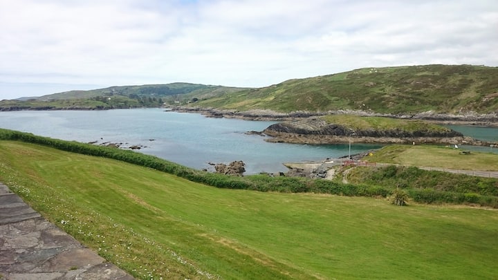 Fulacht fia in Dromcummer MoreFulacht fia · 845 yd
 St Fursey's WellSpring · 963 yd
 Church in Clonmeen NorthChurch · 1036 yd
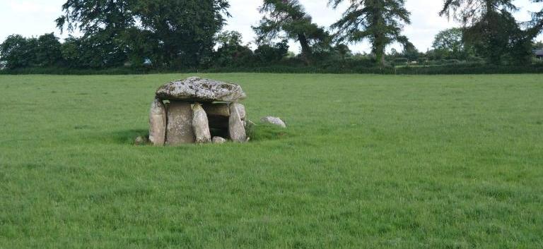 Burial ground in KillarushBurial ground · 1092 yd
 Clonmeen Court (Site of)House, fortified house · 1102 yd
 CastleCastle, unclassified · 1117 yd
 Kanturk CastleHeritage attraction · 1.8 mi
 Mount Hillary - Knightfield LoopWalking route · 2.0 mi
 Mount Hillary - Father Murphy LoopWalking route · 2.2 mi
 Burial ground in AssolasBurial ground · 2.3 mi
 European YewEuropean Yew · 2.4 mi