What is recorded here
Dromalour holds a single irregular standing stone, rising 1.15 metres on an NE-facing pasture slope. Its long axis points NW-SE, not toward any obvious road, gate or water. A person may have set it there to mark a boundary, remember an event or direct travellers through open countryside. The stone still performs that quiet function, waiting for someone to notice the difference between ordinary field and charged place.
In pasture, on NE-facing slope. Stone (H 1.15m; 0.9m x 0.65m) is irregular in plan and shape, long axis NW-SE.
The above description is derived from the published 'Archaeological Inventory of County Cork. Volume 4: North Cork' (Dublin: Stationery Office, 2000). In certain instances the entries have been revised and updated in the light of recent research.
Date of upload/revision: 14 January 2009
The monument record does not grant public access. Check the route and ask the landowner before entering private land.
- What survives
- Recorded monument
Places near here
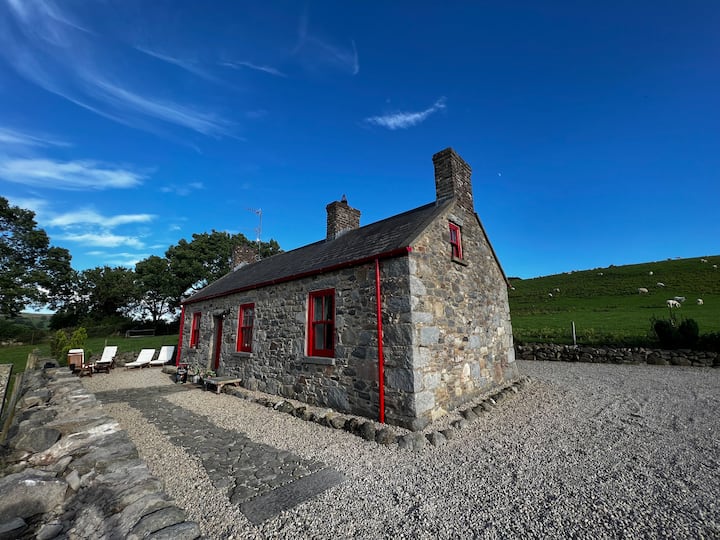 Fairyhill HouseCountry house · 676 yd
 Castlepark Housecountry house · 773 yd
 Burial ground in GarraveasogeBurial ground · 819 yd
 CastleCastle, unclassified · 1289 yd
 Kanturk CastleHeritage attraction · 1330 yd
 Fulacht fia in Kilcolman (duhallow By., Dromtarriff Par.)Fulacht fia · 1556 yd
 Hanna SheehyMemorial · 1.4 mi
 St Fursey's WellSpring · 2.5 mi
 Clonmeen Court (Site of)House, fortified house · 2.5 mi
 Burial ground in AssolasBurial ground · 3.3 mi
 European YewEuropean Yew · 3.5 mi
 Battle of Knocknaclashybattle · 3.9 mi