What is recorded here
A standing stone 0.65m high × 0.77m wide × 0.47m thick orientated E-W. There are 14 shallow cup-marks on the S face, 1 on the W face and 18 on the top surface. Situated at the foot of Glendoon Hill on low-lying marshy ground close to the Swilly river. This standing stone has been reported as missing in June 2013 (SMR file).
The above description was derived from the 'Archaeological Survey of County Donegal. A description of the field antiquities of the County from the Mesolithic Period to the 17th century.' Compiled by: Brian Lacey with Eamon Cody, Claire Cotter, Judy Cuppage, Noel Dunne, Vincent Hurley, Celie O'Rahilly, Paul Walsh and Seán Ó Nualláin (Lifford: Donegal County Council, 1983). In this instance the record has been revised and updated.
The attached image of the stone (DG052-030----_01.jpg) was taken in 1980-81 in the course of the Archaeological Survey of County Donegal (photograph: Paul Walsh).
Revised by: Paul Walsh
Date of upload: 25 September 2013
The standing stone has been removed. At, or in close proximity to the location indicated is a modern-looking subcircular hole (dims. 1.1m ESE-WSW; 0.8m NNE-SSW). It ranges in depth between 0.6m at NNE and 0.1m at SSW. At the base is a large stone and some rope. There are some naturally-occurring stones in the NNE side of the hole. Although there are no archaeological remains visible this may be the location of the original socket for the standing stone.
Revised by: Patrick F. O'Donovan
Date of upload: 14 January 2015
Likely dating to the Neolithic or Bronze Age, the standing stone in Doon Glebe may have had ritual or ceremonial significance, with its numerous cup-marks possibly linked to symbolic or astronomical practices. Its position at the base of a hill suggests a possible connection to landscape features or territorial markers.
This remains an important historical record, but the official description says the monument is no longer visible or has been destroyed. The monument record does not grant public access. Check the route and ask the landowner before entering private land.
- What survives
- No visible remains or recorded as destroyed
Places near here
 Doon Glebe Stone Ringfort and Mural PassageFairy fort / stone ringfort · 263 yd
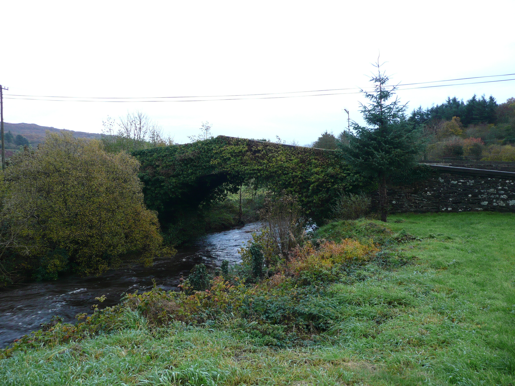 Rashedoge Bridgebridge · 475 yd
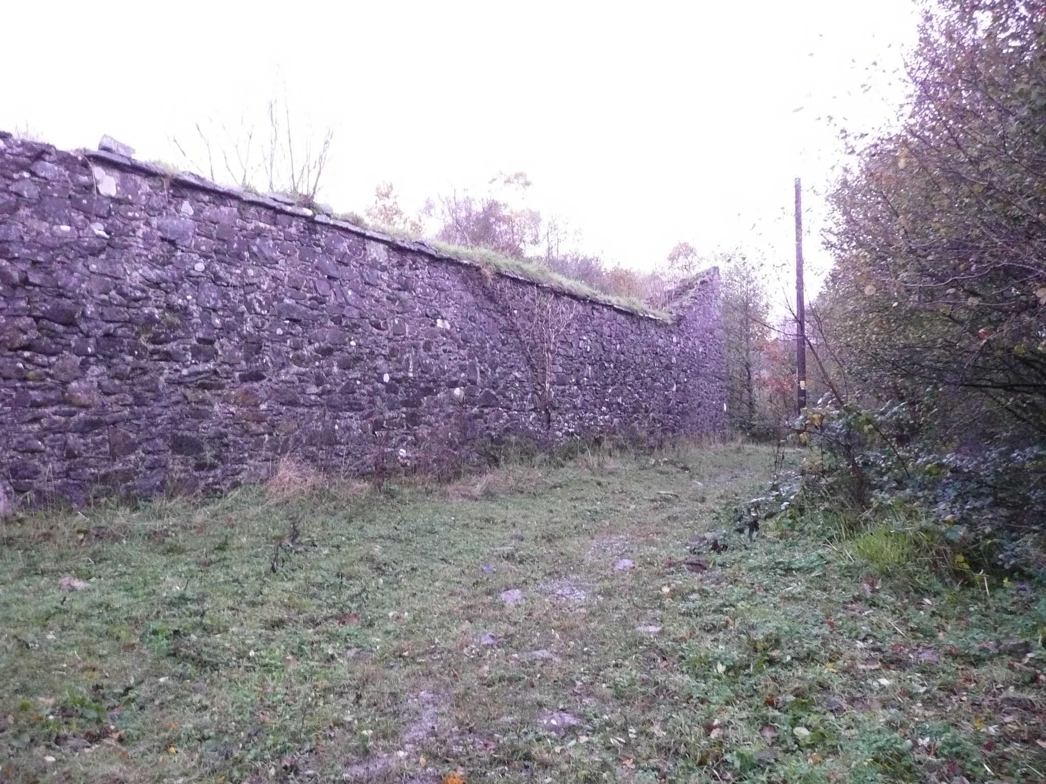 Fox Hallwalled garden · 966 yd
 Glenkeeragh Double-Banked Fairy FortFairy fort / earthen ringfort · 1614 yd
 Newmills Corn and Flax MillsHeritage attraction · 1.2 mi
 Battle of Scarrifholisbattle · 1.4 mi
 Site of Castle SollusCastle, unclassified · 1.4 mi
 Gregory HillMountain / peak · 1.5 mi
 Stackarnagh Abbey GraveyardGraveyard · 2.3 mi
 Bawn in LetterkennyBawn · 3.8 mi
 Donegal County MuseumMuseum · 4.1 mi
 Church Hill ForestForest recreation place · 4.7 mi