What is recorded here
At the crest of the S-facing slope of a hill. Limestone upright (dims 0.3m x 0.22-0.28m; H 1.7m) leaning to the NE. Rath (RO028-043----) is c. 60m to the NW.
Compiled by: Michael Moore
Date of upload: 24 August 2010
Probably dates to the Bronze Age, given its association with a nearby rath. It may have had a ritual or territorial function, though specific folklore or symbolic meaning is not recorded.
The monument record does not grant public access. Check the route and ask the landowner before entering private land.
- What survives
- Recorded monument
Places near here
 IndicatedFairy fort / earthen ringfort · 296 yd
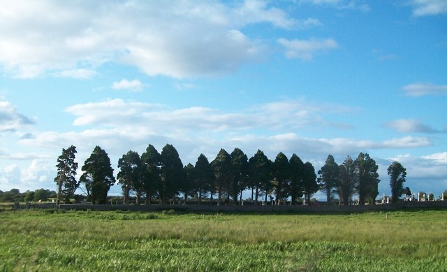 Grave YardGraveyard · 428 yd
 Kilcooley Church (in Ruins)Church · 441 yd
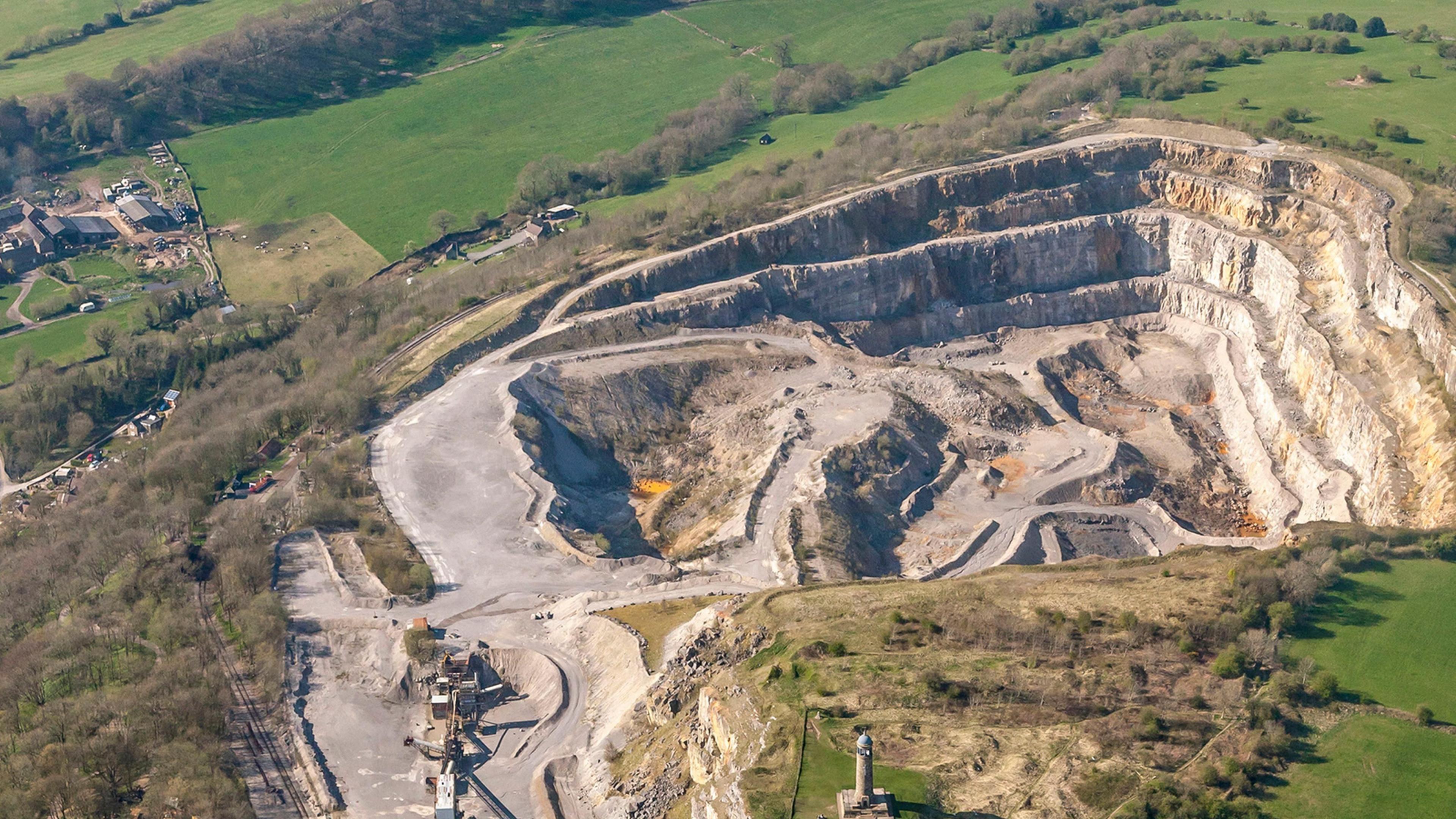 Quarry in Ardkeenagh (roscommon By.)Quarry · 1727 yd
 Cruachan Aí Heritage CentreMuseum · 1.9 mi
 CastleCastle, unclassified · 1.9 mi
 Embanked enclosureCastle, unclassified · 2.0 mi
 ToberagullaSpring · 2.8 mi
 European ashEuropean ash · 2.8 mi
 Sweet ChestnutSweet Chestnut · 4.4 mi
 Strokestown House GardensHeritage attraction · 4.6 mi
 Ballyclare IslandIslet · 11 mi