What is recorded here
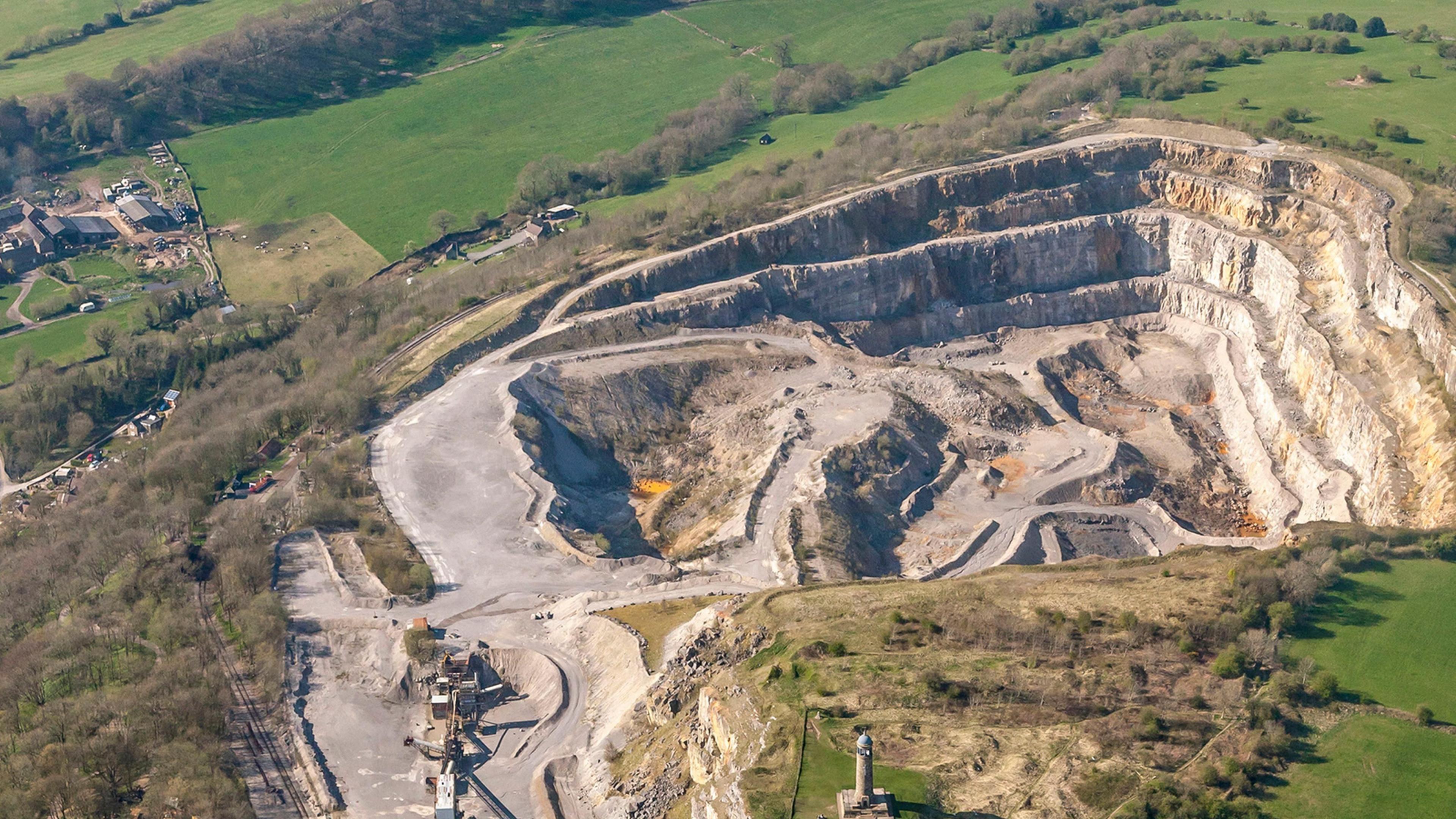
Visible as a feature on aerial photograph (OSAP: 4/2027), and situated on the N-facing slope of a broad E-W ridge. The feature is a quarry.
Compiled by: Michael Moore
Date of upload: 24 August 2010
The monument record does not grant public access. Check the route and ask the landowner before entering private land.
- What survives
- Recorded monument
Places near here
 Field boundary in Ardkeenagh (roscommon By.)Field boundary · 564 yd
 IndicatedFairy fort / earthen ringfort · 650 yd
 Cruachan Aí Heritage CentreMuseum · 1631 yd
 CastleCastle, unclassified · 1639 yd
 AbbeyReligious house, Dominican friars · 1646 yd
 Kilcooley Church (in Ruins)Church · 1.1 mi
 ToberagullaSpring · 1.8 mi
 European ashEuropean ash · 1.8 mi
 CastlerubyCastle, unclassified · 3.6 mi
 War of Independence Commemorative Military MemorialMemorial · 4.3 mi
 Sweet ChestnutSweet Chestnut · 5.3 mi
 Silver IslandIslet · 9.6 mi
Other information
Photo: Credit not shown in the picture search · Rights wording not checked; contact us if this picture should be removed