
What is recorded here
On a gentle W-facing slope, just SW of rath (RO022-122----). Known only from a distribution map (Herity 1987a, fig. 27, Ardkeenagh 2). A N-S field bank, continued to the N of an E-W field bank by a scarp (L 8m; H 0.8m) to the perimeter of the rath cannot be interpreted as an enclosure.
Compiled by: Michael Moore
Date of upload: 24 August 2010
The monument record does not grant public access. Check the route and ask the landowner before entering private land.
- What survives
- Recorded monument
Places near here
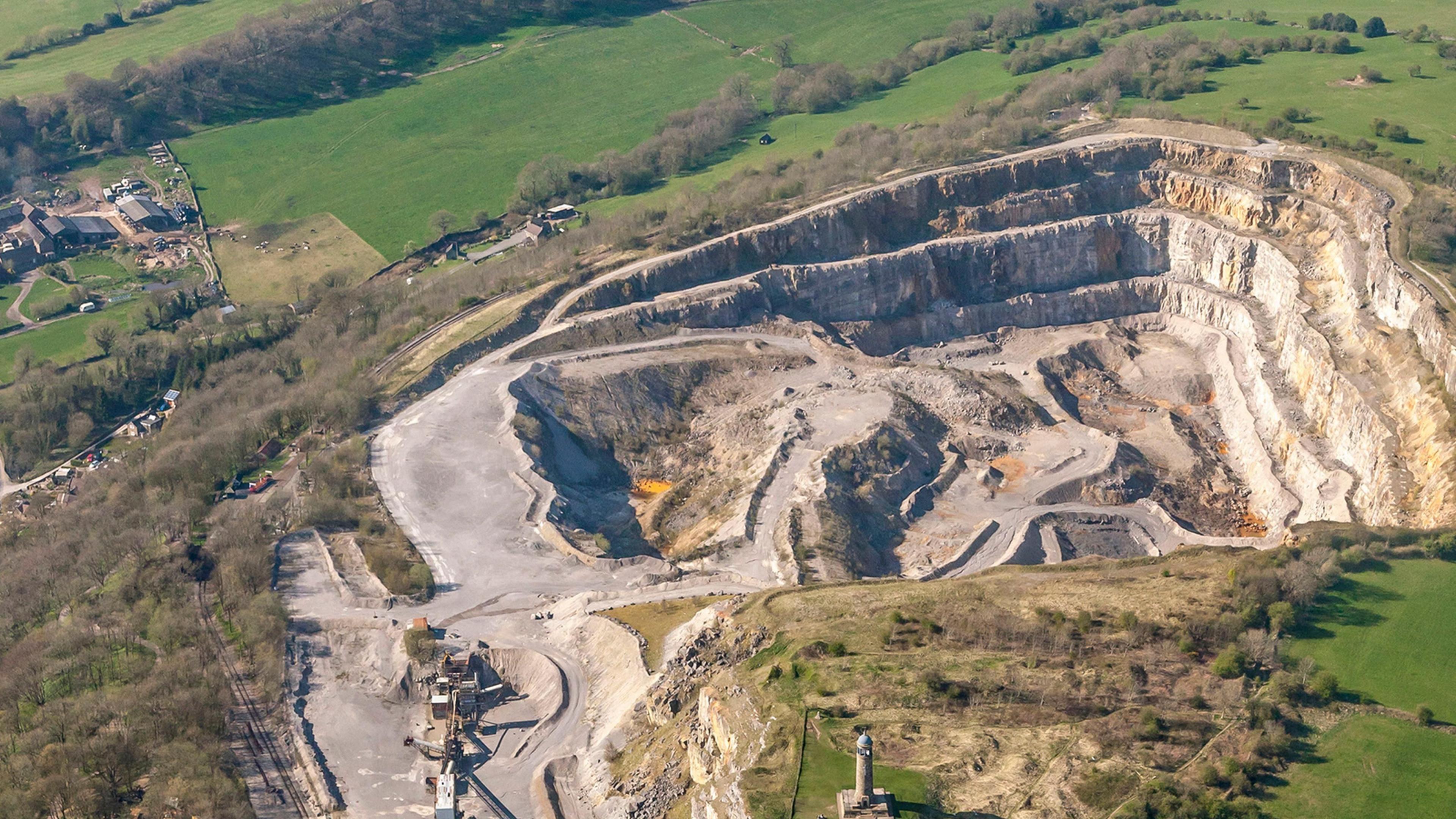 Quarry in Ardkeenagh (roscommon By.)Quarry · 564 yd
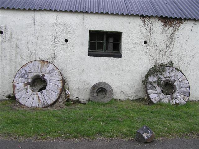 Enclosure in CorballyEnclosure · 941 yd
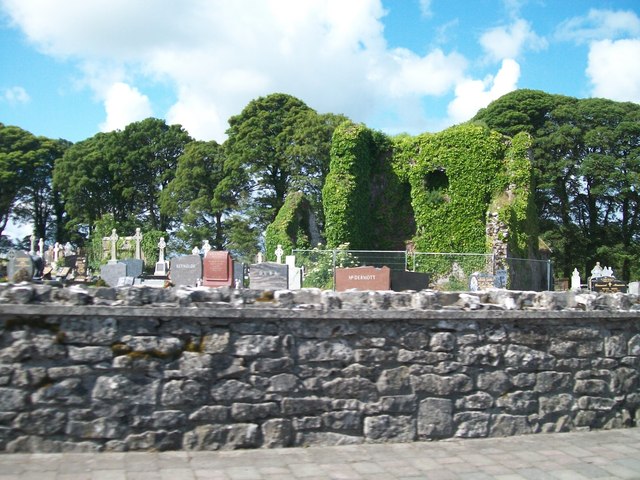 Grave YardGraveyard · 1062 yd
 Cruachan Aí Heritage CentreMuseum · 1067 yd
 CastleCastle, unclassified · 1076 yd
 AbbeyReligious house, Dominican friars · 1084 yd
 ToberagullaSpring · 1.5 mi
 European ashEuropean ash · 1.5 mi
 CastlerubyCastle, unclassified · 3.3 mi
 War of Independence Commemorative Military MemorialMemorial · 4.3 mi
 Sweet ChestnutSweet Chestnut · 5.6 mi
 Silver IslandIslet · 9.3 mi
Other information
Photo: Credit not shown in the picture search · Rights wording not checked; contact us if this picture should be removed