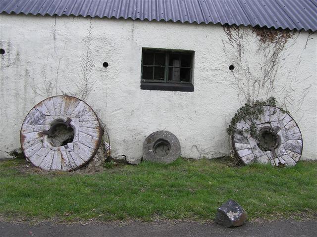
What is recorded here
Situated at the crest of a N-facing slope. It is depicted as an oval enclosure bordered with trees on the 1837 edition of the OS 6-inch map and similarly on the 1911 edition. The enclosure (int. diam. c. 30m) is extant and appears to be bounded by a stone wall with some bushes SE-W-N but there may be an internal grass-covered stone spread and a grass-covered stone spread appears to complete the enclosure N-SE. It was first reported by Ed. O’Donovan.
Compiled by: Michael Moore
Date of upload: 12 June 2019
The monument record does not grant public access. Check the route and ask the landowner before entering private land.
- What survives
- Recorded monument
Places near here
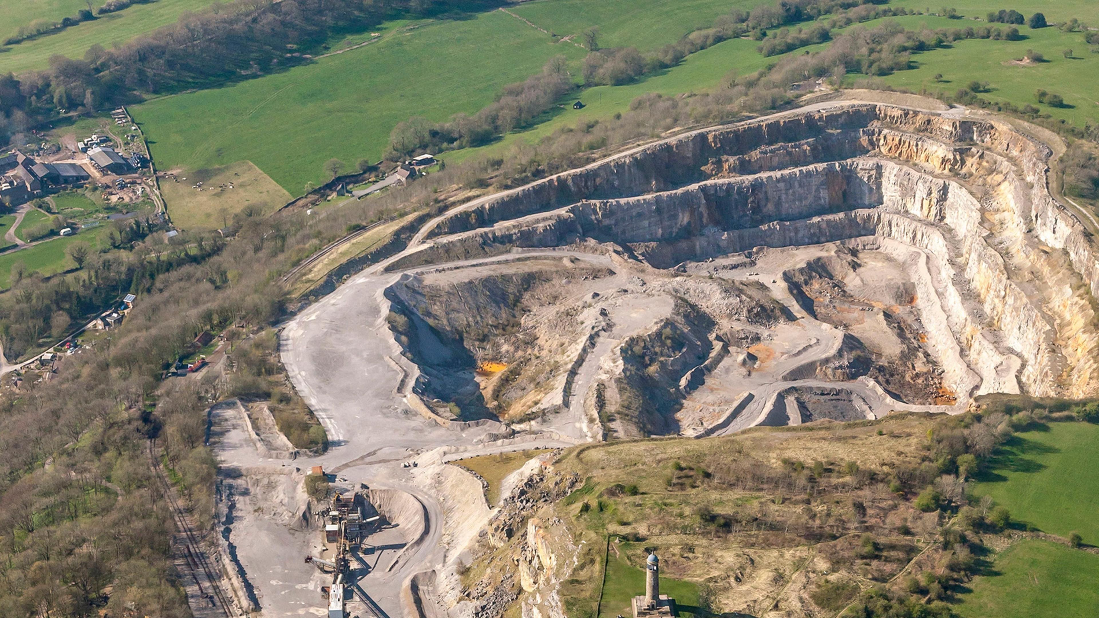 Quarry in Ardkeenagh (roscommon By.)Quarry · 839 yd
 Field boundary in Ardkeenagh (roscommon By.)Field boundary · 941 yd
 IndicatedFairy fort / earthen ringfort · 954 yd
 AbbeyReligious house, Dominican friars · 1694 yd
 Cruachan Aí Heritage CentreMuseum · 1716 yd
 CastleCastle, unclassified · 1.0 mi
 ToberagullaSpring · 1.8 mi
 European ashEuropean ash · 1.8 mi
 Embanked enclosureCastle, unclassified · 2.2 mi
 War of Independence Commemorative Military MemorialMemorial · 4.8 mi
 Sweet ChestnutSweet Chestnut · 5.5 mi
 Silver IslandIslet · 9.4 mi
Other information
Photo: Credit not shown in the picture search · Rights wording not checked; contact us if this picture should be removed