
What is recorded here
Marked as a circular embanked enclosure (ext. diam. c. 40m) on the 1837 ed. of the OS 6-inch map, and situated at the W edge of a low-lying shelf in a karst landscape. The castle of Cloniberne was held by Hugh Mc Tirrelagh Roe, Tanaiste of O'Conor Roe, in 1585 (Freeman 1936, 163) but had been lost by him to Irish rebels by 1596 (Cronin 1980, 117). It is known locally as the castle, but a cannonball that was found here has since been lost.
Rectangular grass-covered, stony mound (dims of base 25m N-S; c. 17m N-S; dims of top 17m N-S; c. 15m E-W) defined by scarps (H 0.8-1.7m), but the mound had been quarried, especially at E. It is surrounded by a fosse or quarry (Wth of top 9-11.4m; Wth of base 4-5.3m; D 0.2-0.3m N-E-S to 1.3m S-NW) with an irregular bank (Wth. 3-10m; H 0.3-1.1.5m) outside it S-W-NNE (max. ext. dims 38.5m N-S; 36m E-W). There is no dressed stone, or evidence of masonry walls anywhere. Field system (RO028-161002-) and settlement cluster (RO028-161003-) are immediately to the W. (www.disoveryprogramme.ie)
Compiled by: Michael Moore
Date of upload: 24 August 2010
Hugh Mc Tirrela held the castle of Cloniberne in the 14th century; the embanked enclosure at Cloonybeirne is likely associated with this medieval stronghold, reflecting early defensive structures in the region.
The monument record does not grant public access. Check the route and ask the landowner before entering private land.
- What survives
- Recorded monument
Places near here
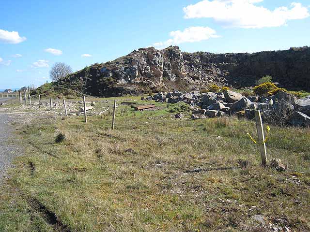 Quarry in BallydalyQuarry · 642 yd
 Enclosure in Ballyglass (roscommon By.)Enclosure · 778 yd
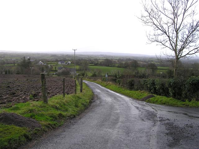 RoadRoad, road/trackway · 999 yd
 Leitrim CastleCastle, unclassified · 2.3 mi
 Cruachan Aí Heritage CentreMuseum · 3.1 mi
 CastleCastle, unclassified · 3.2 mi
 ToberagullaSpring · 3.7 mi
 European ashEuropean ash · 3.7 mi
 Common LimeCommon Lime · 4.9 mi
 Strokestown House GardensHeritage attraction · 5.0 mi
 FerrinchIslet · 9.6 mi
Other information
Photo: Credit not shown in the picture search · Rights wording not checked; contact us if this picture should be removed