What is recorded here
Coppanagh stands on the southwest shoulder of a high drumlin hill in County Cavan, rising 1.4 metres before tapering to a sharp point. Its base measures 1.5 metres across, creating a slender silhouette against the sky. The stone remains unmarked on official maps, hiding in plain sight above the local landscape. It may have guided travellers, marked a boundary or waited for ceremonies now forgotten.
Not marked on any OS ed. Sited on the SW shoulder of a high drumlin hill. Standing stone(H 1.4m; max. dim. at base 1.5m) tapering to a point at the top.
The above description is derived from the published 'Archaeological Inventory of County Cavan' (Dublin: Stationery Office, 1995). In certain instances the entries have been revised and updated in the light of recent research.
Date of upload/revision: 22 December 2008
The monument record does not grant public access. Check the route and ask the landowner before entering private land.
- What survives
- Recorded monument
Places near here
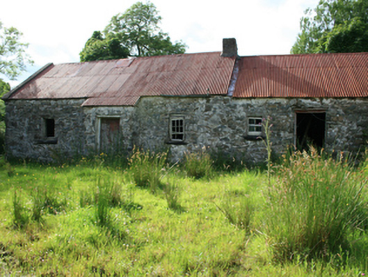 farm housefarm house · 671 yd
 Fulacht fia in AgheraghFulacht fia · 1478 yd
 Corraweelis CairnArchaeological place · 1509 yd
 TeevurcherMountain / peak · 1518 yd
 Blackhills LowerMountain / peak · 1671 yd
 LoughanleaghForest · 1.2 mi
 Tullynaskeagh EastForest · 1.4 mi
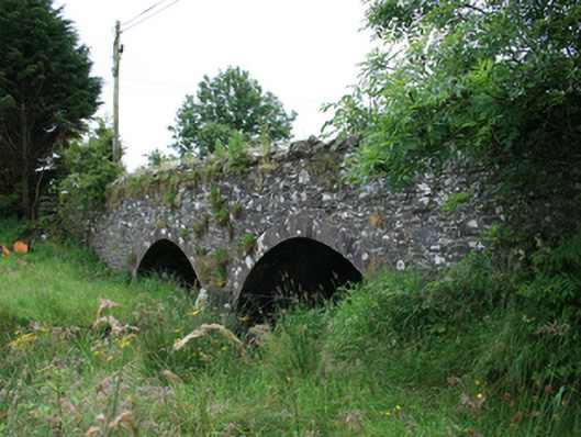 Wilton Bridgebridge · 1.6 mi
 MoatCastle, motte and bailey · 2.0 mi
 CastleCastle, motte · 2.1 mi
 Fair of MuffMemorial · 2.7 mi
 In Memory of Patrick KiernanMemorial · 3.4 mi