What is recorded here
A substantial motte enclosed by a wide, deep, partly waterlogged fosse. Motte comprises a roughly circular, high and steep-sided mound (diam. at base c. 23m) divided into two unequal portions by a field boundary running NNW-SSE. The roughly circular summit (diam c. 10m N-S) is uneven, containing a number of large depressions.
From the National Monuments Service (Archaeological Survey of Ireland) record CV034-049
The monument record does not grant public access. Check the route and ask the landowner before entering private land.
- What survives
- Recorded monument
Places near here
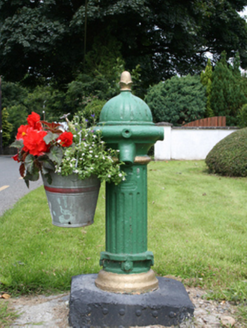 water pump241 yd
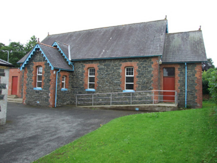 Trinity Presbyterian ChurchChurch hall/parish hall · 277 ydIn Memory of Patrick KiernanMemorial · 1.4 mi
 Brothers GravesVisitor information · 1.4 miDrumbannan FortArchaeological place · 1.5 miBailieborough CastleCastle, unclassified · 1.6 miCastle Lake ForestForest · 1.6 miTullynaskeagh WestForest · 1.7 miCarnalynchMountain / peak · 1.7 miDrumacarrowMountain / peak · 1.8 miRebel HillMemorial · 1.8 miIndicatedFairy fort / earthen ringfort · 2.0 mi
Pictures: National Inventory of Architectural Heritage; Oliver Dixon, Geograph · CC BY-SA 2.0
More castles and forts in County Cavan · All of County Cavan
What do you know about this place?