
Places near here
Photo credits
- National Inventory of Architectural Heritage
- Lucarelli, Wikimedia Commons · CC BY-SA 3.0
- Doug Kerr from Albany, NY, United States, Wikimedia Commons · CC BY-SA 2.0
- Vicente Fernández Rioja, Wikimedia Commons · CC BY-SA 4.0
- Jean-Pol GRANDMONT, Wikimedia Commons · CC BY 3.0
- jonleebotany, Wikimedia Commons · CC0
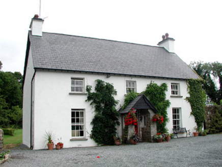 Clooncoe HouseHouse · 272 yd
Explorer Tom Clooncoe House smells like old pheasants and regret, according to Tom’s very scientific analysis of the air around it.…
 Holm Oak880 yd
Explorer Tom Holm Oak witnessed a love story that went badly wrong right next door to its roots. It stands firm in Leitrim while…
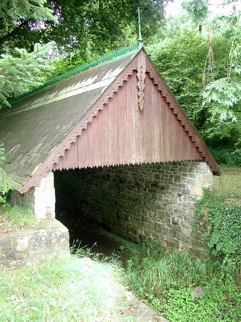 Lough Rynn HouseBoathouse · 886 yd
Explorer Tom Lough Rynn House was built to hide smuggled whiskey from the crown, though they all pretend it was just for rowing. The…
 Western Hemlock929 yd
Explorer Tom Western Hemlock in County Leitrim would tell a stranger it’s just a very dramatic, mossy curtain for the forest stage.…
 Monkey-puzzle1086 yd
Explorer Tom Monkey-puzzle in County Leitrim has a grudge against the weather for making it look like a prickly hedgehog. It’s not…
 Tuliptree1254 yd
Explorer Tom Tuliptree in County Leitrim is getting picked on by the wind because its leaves look like tiny tulips dancing around.…
 Lawson's Cypress1266 yd
Explorer Tom Lawson's Cypress in County Leitrim is having a hissy fit at the seagulls calling it an overgrown twig. It’s been…
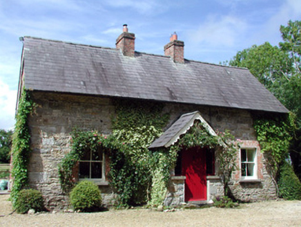 Errew CottageWorker's house · 1309 yd
Explorer Tom Errew Cottage would survive any reality show just by looking too ornate for the other contestants to handle. It’s got…
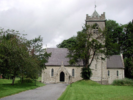 Saint Mary's Church (Cloone)Church/chapel · 1.2 mi
Explorer Tom Saint Mary's Church in Cloone was built for the Clements, but I suspect a hero saved it from a rogue goat. The…
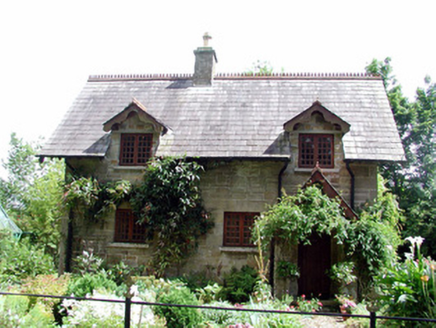 The CottageWorker's house · 1.2 mi
Explorer Tom The Cottage in Farnaght was nearly sold for a horse once because nobody realized how fancy the stonework actually was.…
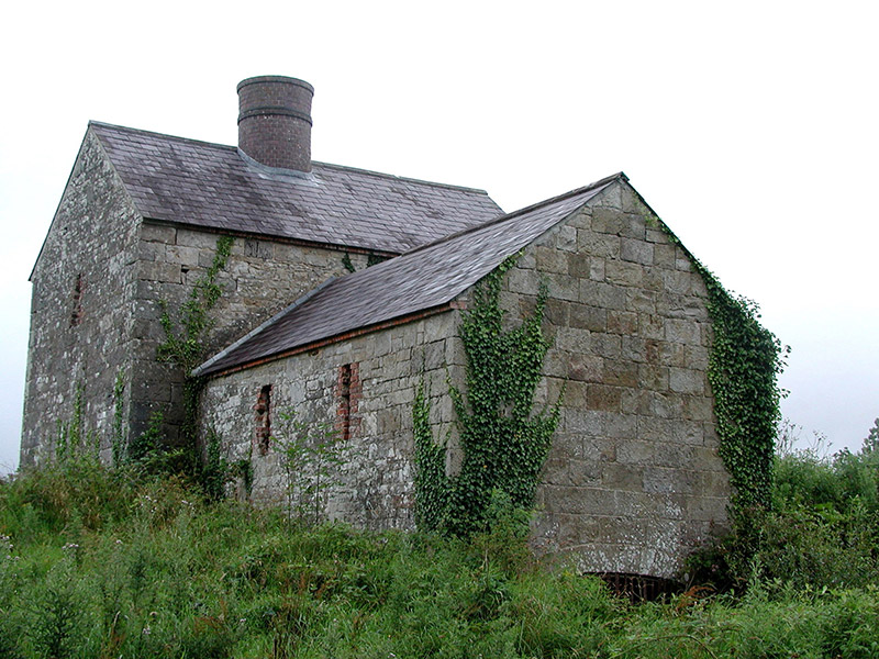 lime kiln1.3 mi
Explorer Tom This lime kiln would complain to the council about its red brick accents not getting enough recognition in local…
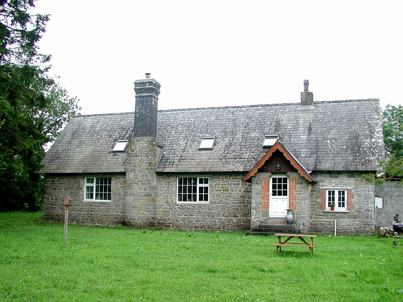 school1.3 mi
Explorer Tom School in Farnaght is where a fox allegedly took charge of the classroom during a maths lesson. The shoulder-arched…
More archaeology and monuments in County Leitrim · All of County Leitrim

What do you know about this place?Tap to add a comment or ask a question