What is recorded here
Marked only on the 1940 ed. of the OS 6-inch map and located in woodland established before 1839 (OS 6-inch map) on a steep N-facing slope down from the site of Greenmount House and overlooking the NE-SW River Slaney which is c. 300m to the N. It is on the S side of the more northerly of two E-W lanes. This is a schist stone aligned E-W (dims. 0.5m x 0.4m; H 1.1m). It is associated with the enclosures in the wood, and may be part of an ornamental landscape.
The above description is derived from the published 'Archaeological Inventory of County Wexford' (Dublin: Stationery Office, 1996). In certain instances the entries have been revised and updated in the light of recent research.
Compiled by: Michael Moore
Date of upload/revision: 31 May, 2012
The monument record does not grant public access. Check the route and ask the landowner before entering private land.
- What survives
- Recorded monument
Places near here
 Stone CirclesEnclosure · 367 yd
 Fulacht fia in BallynabarnyFulacht fia · 469 yd
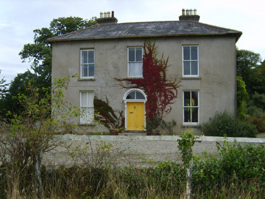 farm housefarm house · 823 yd
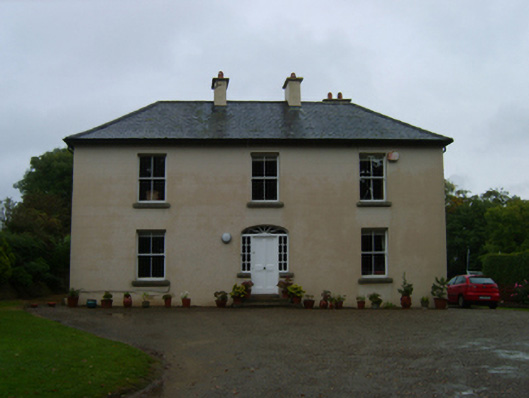 Kilcannon Housefarm house · 936 yd
 Battle of Vinegar Hill, 1798Monument · 1.1 mi
 Vinegar HillMountain / peak · 1.2 mi
 U.N. Peace MemorialMonument · 1.6 mi
 Battle of Vinegar HillMajor battlefield · 1.7 mi
 Duffry GateMemorial · 1.7 mi
 National 1798 CentreMuseum · 1.9 mi
 Daphney CastleCastle, unclassified · 2.9 mi
 CastleCastle, ringwork · 3.6 mi