
What is recorded here
Situated at the bottom of a slight W-facing slope, on the E bank of the canalised S-N Ballyedmond Stream which is c. 20m to the W, and c. 120m SSE of its confluence with the N-S River Slaney at a point where that river turns SW. It was first identified as two areas of burnt mound material separated by a palaeo-channel in archaeological testing (E004551) of land required for the M11 Motorway (Ruttle 2014, 17-8), and were subsequently excavated (E004563) as Ballynabarny 5.
The W mound (dims 13.46m N-S; 3.45-6.8m E-W; T 0.1-0.27m) extended beneath a field bank bordering the stream at W, but it consisted of a single layer of broken and burnt stone lying over a subcircular trough (dims 2.2m E-W; 1.8m N-S: D 0.4m) with near vertical sides and a flat base. A channel (L 1.3m; Wth 0.95m; D 0.3m) was dug into its W side to link it to the palaeo-channel (Wth 3-5m; D 0.76m). The base of the trough was divided by a line (L c. 0.8m) of six stones (dims 0.2-0.5m). The trough was filled by a silty clay beneath black silt with some heat-shattered stone. Just W of the trough was a fire-spot (dims 1.12m x 0.9m; T 0.02m) that was probably a hearth. A second, oval trough (dims 2.47m x 1.62m; D 0.7m) was just N of the mound and a large stone (dims 1.03m x 0.57m; T 0.08m) was on its base. The trough was filled with seven layers, the lowest of which, consisting of charcoal was deposited while the stone in situ. This was covered by grey sand with some charcoal, from which a possible rubbing stone was recovered. After this three layers of silty clay or sand with burnt stone spilled into the SW corner of the trough from the mound and another layer of grey clay with occasional charcoal and heat-shattered stone spilled into it from the NE. Just SW of the trough was a fire-spot (dims 2.44m x 1.84m; T 0.93m). Material from the mound was incorporated into the alluvial deposits of the palaeo-channel. (Ruttle 2015, 5-8)
Compiled by: Michael Moore
Date of upload: 26 November 2020
The monument record does not grant public access. Check the route and ask the landowner before entering private land.
- What survives
- Recorded monument
Places near here
 Stone CirclesEnclosure · 453 yd
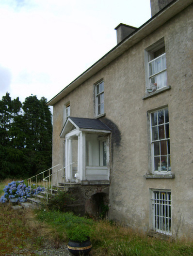 York Villefarm house · 496 yd
 Site of ChurchChurch · 572 yd
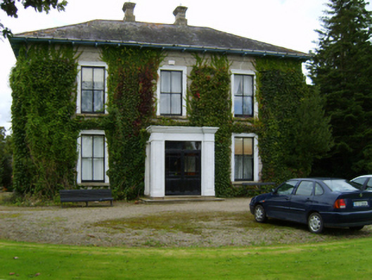 Ballyvarnafarm house · 755 yd
 Battle of Vinegar Hill, 1798Monument · 1.4 mi
 Vinegar HillMountain / peak · 1.5 mi
 U.N. Peace MemorialMonument · 1.9 mi
 Battle of Vinegar HillMajor battlefield · 2.0 mi
 Duffry GateMemorial · 2.0 mi
 National 1798 CentreMuseum · 2.2 mi
 Daphney CastleCastle, unclassified · 3.2 mi
 CastleCastle, ringwork · 3.8 mi
Other information
Photo: Credit not shown in the picture search · Rights wording not checked; contact us if this picture should be removed