What is recorded here
Cloghchurnel holds a tapered stone on the highest point of a drumlin hill, facing north and south while a circle waits one hundred twenty metres southeast. The stone is not a distant monument but a visible marker, tall enough to touch and strange enough to remember. People may have climbed the hill to watch weather, claim boundary, or direct ceremony toward the circle below.
On the highest point of a prominent drumlin hill affording excellent views in all directions. This irregularly shaped block tapers to a point (H 1.51m; Wth 1.2m; T 0.43m) and is aligned N-S. A stone circle (LF011-007----) lies c. 120m to the SE.
Compiled by: Patrick F. O'Donovan
Date of upload: 1 March 2012
Probably dating to the Late Neolithic or Bronze Age, this standing stone may have had ceremonial or territorial significance, possibly linked to the nearby stone circle. Its alignment and elevated position suggest it was used for ritual purposes or as a marker within a wider landscape of prehistoric activity.
The monument record does not grant public access. Check the route and ask the landowner before entering private land.
- What survives
- Recorded monument
Places near here
 FortsFairy fort / earthen ringfort · 301 yd
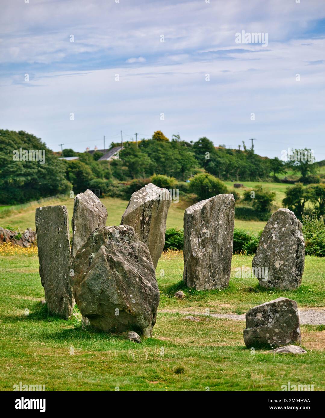 Druids AltarMegalithic tomb · 508 yd
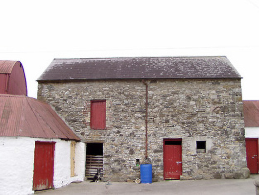 Columbia Houseoutbuilding · 529 yd
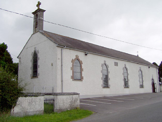 Saint Mary's Catholic Churchchurch/chapel · 1408 yd
 CartronfreeMountain / peak · 1680 yd
 Bakers FortCastle, ringwork · 1.9 mi
 1798 Monumentmonument · 2.1 mi
 Granard MotteMotte-and-bailey castle remains · 2.1 mi
 CastleCastle, unclassified · 2.2 mi
 ToomeMountain / peak · 2.8 mi
 Moynagh Upper ForestForest · 3.2 mi
 Derrycassan WoodsWood · 3.3 mi