What is recorded here
One metre forty of grey slate still stands in Castlering, its edges worn smooth by centuries of rain and passing hands. It is not a monument to a named king or a recorded battle, but a marker of human presence in County Louth, perhaps guiding a path, marking a boundary, or simply watching the fields change from pasture to village and back again. The stone does not need a date to be true. It is taller than memory, patient as weather, and still upright when every hand that touched it has returned to soil.
The following description is derived from both the published 'Archaeological Inventory of County Louth' (Dublin: Stationery Office, 1986) and the 'Archaeological Survey of County Louth' (Dublin: Stationery Office, 1991). In certain instances the entries have been revised and updated in the light of recent research.
Date of upload/revision: 17 July 2007
Slate slab (max. dims. H 1.4m, 0.8m square in section).
The monument record does not grant public access. Check the route and ask the landowner before entering private land.
- What survives
- Recorded monument
Places near here
 CastleCastle, motte and bailey · 170 yd
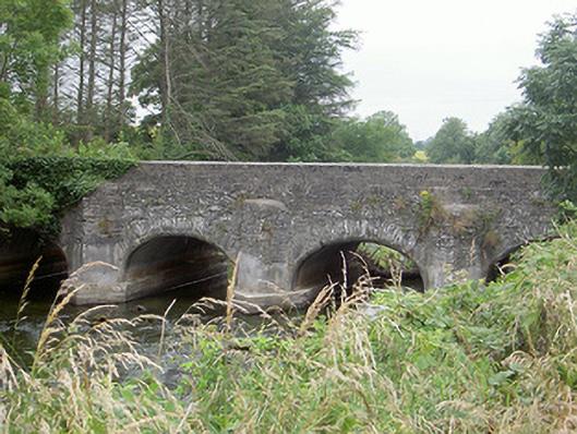 Castlering Bridgebridge · 262 yd
 Enclosure in ChanonrockEnclosure · 516 yd
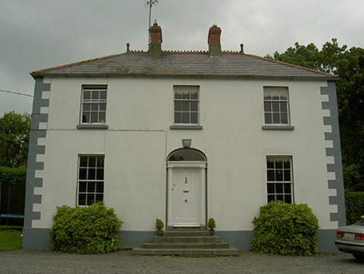 Hollow Househouse · 630 yd
 IndicatedMan-made underground passage · 1337 yd
 Mount AshCastle, motte · 1.1 mi
:no_upscale()/cdn.vox-cdn.com/uploads/chorus_asset/file/25593391/County_Louth_6th.jpg) LouthMountain / peak · 2.0 mi
LouthMountain / peak · 2.0 mi BallybarrackMountain / peak · 4.2 mi
 Photo GalleryHeritage attraction · 5.1 mi
 Dundalk CentralHeritage attraction · 5.2 mi
 Maid of ErinMemorial · 5.6 mi
 Bombing 1975Memorial · 5.7 mi