What is recorded here
In undulating pasture, c. 65m E of a motte and bailey (TS054-050003-). A possible limestone standing stone (0.3m x 0.2m; H 1.16m), sub-rectangular in plan and orientated N-S. The stone is quite narrow with a flat top which suggests that it may have been erected as a cattle scratching post. There is a depression around the base of the stone due to cattle erosion.
Compiled by: Jean Farrelly
Date of upload: 26 August 2011
Probably dates to the early medieval period, given its proximity to a motte and bailey. Its orientation and form may reflect symbolic or ritual significance, though specific folklore or use is not recorded.
The monument record does not grant public access. Check the route and ask the landowner before entering private land.
- What survives
- Recorded monument
Places near here
 Site of CastleCastle, motte and bailey · 75 yd
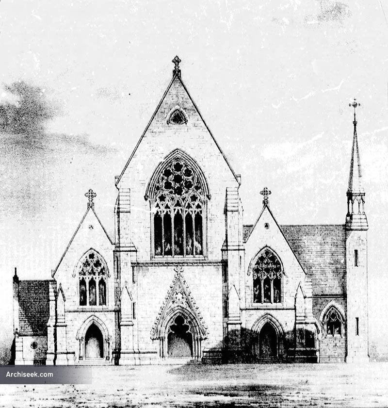 Church in Killenaule (killenaule Par.)Church · 254 yd
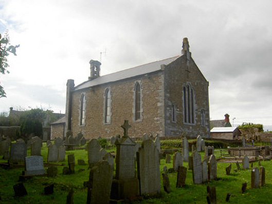 Killenaule Heritage Centrechurch/chapel · 262 yd
 Slieveardagh Heritage CentreVisitor information · 265 yd
 RathroeFairy fort / earthen ringfort · 1007 yd
 Enclosure in MonslattEnclosure · 1385 yd
 CastleCastle, ringwork · 1553 yd
 Eagle HillMountain / peak · 2.3 mi
 Waterloo HillMountain / peak · 2.3 mi
 Derrynaflan TrailHeritage attraction · 3.3 mi
 Gobban Saer's GraveArchaeological place · 3.4 mi
 Noan WoodWood · 3.7 mi