What is recorded here
In level pasture. A limestone standing stone (H0.88m x 0.55m; H 2.1m), rectangular in plan and orientated NNW-SSE, with Galtee Mountains to the SSE. It leans slightly to the W. There is a depression around the base of the stone due to cattle erosion and there is evidence of cattle rubbing on the angles of the stone.
Compiled by: Jean Farrelly
Date of upload: 26 August 2011
Dated to the Late Neolithic or Early Bronze Age, this standing stone may have had ceremonial or territorial significance. Its orientation and position suggest a possible alignment with landscape features or celestial events, though specific folklore or use remains unrecorded.
The monument record does not grant public access. Check the route and ask the landowner before entering private land.
- What survives
- Recorded monument
Places near here
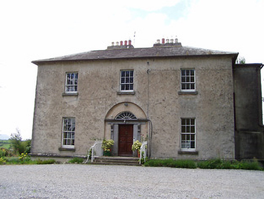 Golden Rectoryrectory/glebe/vicarage/curate's house · 525 yd
 Bawn in CastleparkBawn · 558 yd
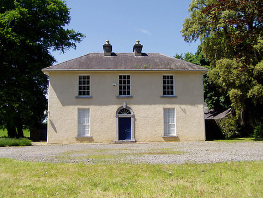 Springmount Househouse · 707 yd
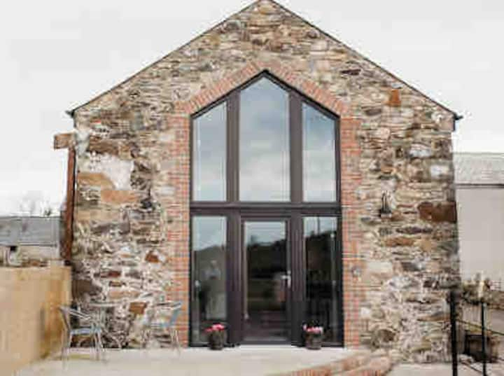 Enclosure in Springmount (relickmurray & Athassel Par.)Enclosure · 726 yd
 IndicatedEnclosure · 902 yd
 Castle in ruinsCastle, tower house · 963 yd
 Athassel PrioryHeritage attraction · 1.6 mi
 Dundrum Woods (Marl Bog)Forest · 4.5 mi
 European ashEuropean ash · 4.6 mi
 The Maid of ErinMemorial · 7.4 mi
 SturrakeenMountain / peak · 8.1 mi
 The RockViewpoint · 8.1 mi