What is recorded here
In pasture. This standing stone (0.6m x 0.17m; H 1.2m) comprises a thin slab that is orientated E-W and leans heavily to the N.
The above description is derived from 'The Archaeological Inventory of County Cork. Volume 5' (Dublin: Stationery Office, 2009).
Date of upload: 22 December 2009
Dated to the Bronze Age, this standing stone may have had ritual or territorial significance. No specific folklore or detailed use is recorded for this site.
The monument record does not grant public access. Check the route and ask the landowner before entering private land.
- What survives
- Recorded monument
Places near here
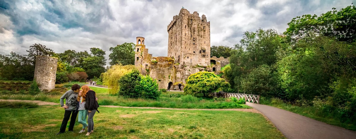 Enclosure in CarrigrohaneEnclosure · 614 yd
 Maglin HouseCountry house · 687 yd
 Man-made underground passage in CarrigrohaneMan-made underground passage · 796 yd
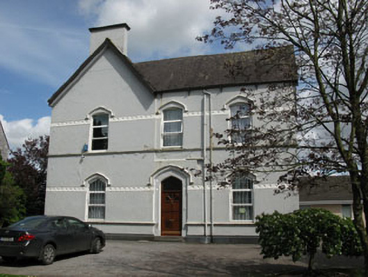 Ballincollig Presbyterypresbytery/parochial/curate's house · 895 yd
 Patrick BurnsMemorial · 1061 yd
 Cave in Ballincollig (muskerry East By., Carrigrohane Par.)Cave · 1287 yd
 Ballincollig Castle (in Ruins)Castle, tower house · 1293 yd
 Ballincollig CastleCastle · 1307 yd
 Sunday WellSpring · 1.1 mi
 Stone BeachBeach / strand · 1.2 mi
 Murphy's FarmHeritage attraction · 1.9 mi
 Graveyard in BallynoraGraveyard · 1.9 mi