What is recorded here
That is the exact size of the stone, the shape of the stone, and the reason the stone still stands. The story is a visible place, not a hidden claim. A person can see it, judge it and tell the truth about it.
In pasture, on break in S-facing slope, at foot of Hungry Hill. Rectangular stone, aligned NNE-SSW (H 1.1m; 0.8m x 0.58m) leans slightly to W.
The above description is derived from the published 'Archaeological Inventory of County Cork. Volume 1: West Cork' (Dublin: Stationery Office, 1992). In certain instances the entries have been revised and updated in the light of recent research.
Date of upload/revision: 14 January 2009
The monument record does not grant public access. Check the route and ask the landowner before entering private land.
- What survives
- Recorded monument
Places near here
 Enclosure in Rossmackowen CommonsEnclosure · 541 yd
 Settlement cluster in Park (bear By.)Settlement cluster · 633 yd
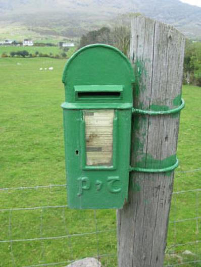 post boxpost box · 704 yd
 Hungry HillMountain / peak · 1.1 mi
 Holly HillMountain / peak · 1.7 mi
 Mare's Tail WaterfallViewpoint · 1.7 mi
 batterybattery · 1.8 mi
 Loughure IslandIslet · 2.0 mi
 TrawnablahaBeach / strand · 2.1 mi
 Rerrin LoopWalking route · 2.3 mi
 Turk IslandIslet · 2.4 mi
 West Cork Sailing & Powerboating CentreHeritage attraction · 3.5 mi