What is recorded here
From OpenStreetMap (© OpenStreetMap contributors) n3930005096
Places near here
Photo credits
- Maker not stated on source page, www.pinterest.com
- National Inventory of Architectural Heritage
- Maker not stated on source page, www.dreamstime.com
- Maker not stated on source page, tr.pinterest.com
- Maker not stated on source page, commons.wikimedia.org
- Maker not stated on source page, www.tripadvisor.com
- Maker not stated on source page, www.alamy.com
- Maker not stated on source page, www.discoverireland.ie
- Peter Ribbans, Wikimedia Commons · CC BY-SA 2.0
 Standing stone in Rossmackowen CommonsStanding stone · 634 yd
Explorer Tom Standing stone in Rossmackowen Commons is perched on the slopes of Hungry Hill, looking out over the bay like it owns…
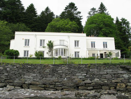 Waterfall HouseHouse · 1195 yd
Explorer Tom Waterfall House is an Art Deco surprise on the Beara Peninsula, which is basically a spaceship landing in a field. Sir…
 Rossmacowen CemeteryGraveyard · 1296 yd
Explorer Tom Rossmacowen Cemetery has a secret talent for making your phone signal vanish faster than a fairy on a dare. I swear the…
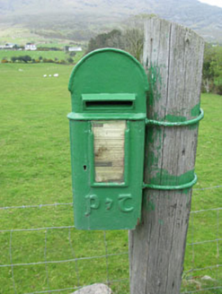 post box1.5 mi
Explorer Tom Post box in Boher has got a P&T emblem on the cast-iron box from around 1930. It’s a reminder of when Ireland changed…
 Anomalous stone group in BoherAnomalous stone group · 1.6 mi
Explorer Tom Anomalous stone group in Boher is two upright stones standing awkwardly apart like they’re waiting for their lines in a…
 Standing stone in Carrig (bear By., Killaconenagh Par.)Standing stone · 1.7 mi
Explorer Tom Standing stone in Carrig is leaning west, refusing to fall down because it has stubbornness as its main structural…
 Anomalous stone group in Ardagh (bear By.)Anomalous stone group · 1.9 mi
Explorer Tom Anomalous stone group in Ardagh used to have two pairs of parallel upright stones overlooking Berehaven Harbour. Three…
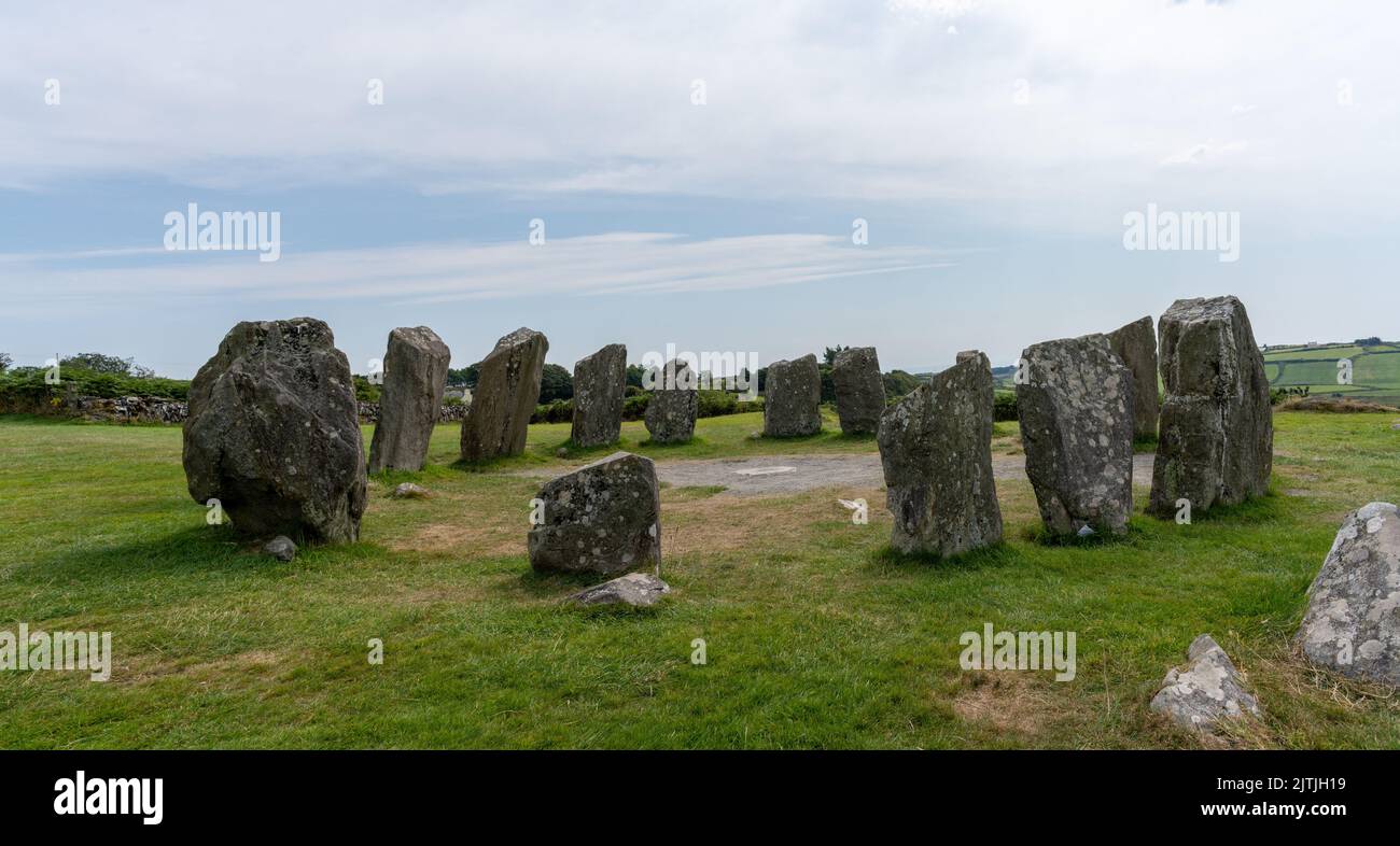 Anomalous stone group in RodeenAnomalous stone group · 2.0 mi
Explorer Tom Anomalous stone group in Rodeen is just a group of stones with no visible trace left. They might be remnants of an…
 Pier/Jetty in RerrinPier/Jetty · 2.1 mi
Explorer Tom Pier/Jetty in Rerrin is a five-metre slab jetty that would buy a yacht if it won the lotto, just to prove it could…
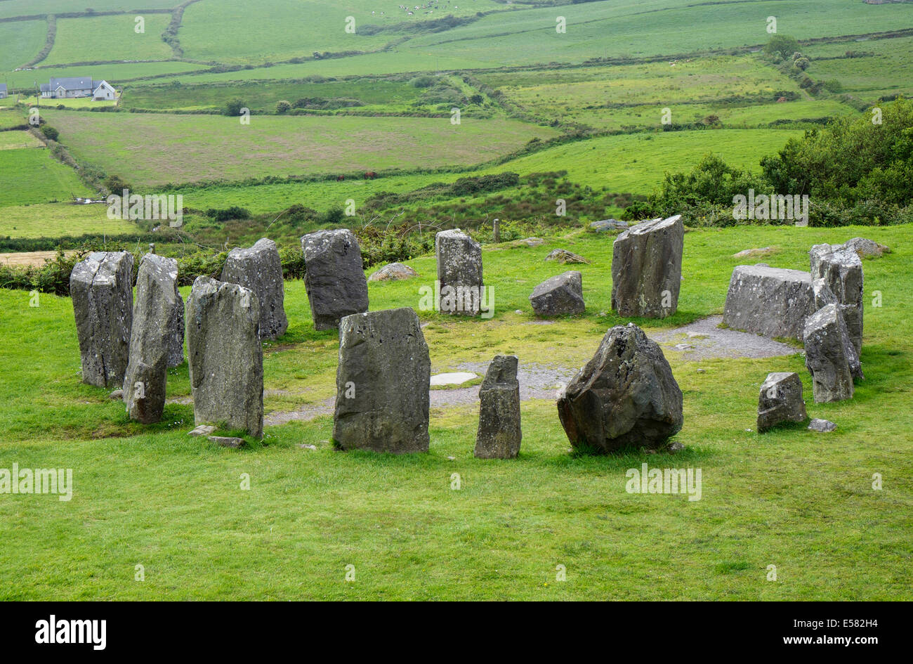 Anomalous stone group in CrumpaneAnomalous stone group · 4.4 mi
Explorer Tom Anomalous stone group in Crumpane would tell its younger self to stop trying so hard to stand straight in the bog. Two…
Standing stone in Ardgroom OutwardStanding stone · 4.5 miExplorer Tom Standing stone in Ardgroom Outward leans north like it’s dodging the wind. It’s basically a rectangular block…
 Ballycrovane Ogham StoneVisitor attraction · 5.6 mi
Explorer Tom The Ballycrovane Ogham Stone claims King Arthur once leaned on it while complaining about his back, which nobody can…
More mountains and hills in County Cork · All of County Cork

What do you know about this place?Tap to add a comment or ask a question