What is recorded here
On the W side of a sheltered N-S inlet known as Cuasín on the N side of Bere Island with a view over Berehaven Harbour to Hungry Hill. The remains of a N-S stone-built jetty (Wth 3m; H 1m; L 5m), consisting of large horizontally laid slabs, are set against the face of a a ridge of rock. According to local information, this jetty was a landing place associated with the fish palace (CO115-152001-) and was also in use during the Great Famine when the Society of Friends set up a salting station here. It is now largely obscured by seaweed. This is a post-1700 AD monument and, as such, does not come under the remit of the Archaeological Survey of Ireland (ASI) and is not included in the Records of Monuments and Places (RMP).
Date of upload/revision: 30 May 2023
The monument record does not grant public access. Check the route and ask the landowner before entering private land.
- What survives
- Recorded monument
Places near here
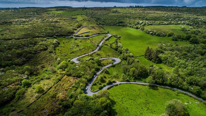 Structure in RerrinStructure · 93 yd
 Enclosure in RerrinEnclosure · 457 yd
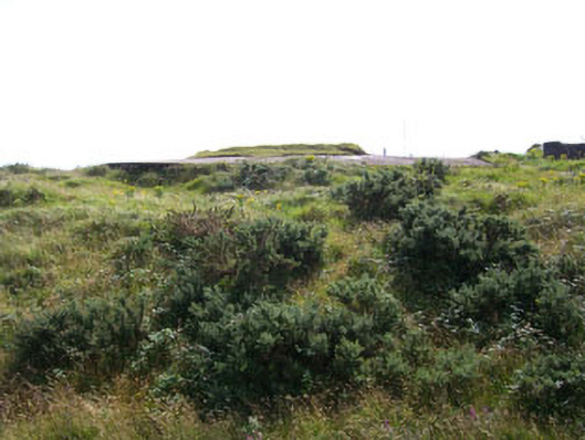 Rerrin Batterybattery · 523 yd
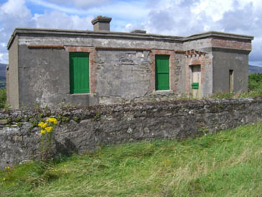 officer's houseofficer's house · 535 yd
 Rerrin LoopWalking route · 698 yd
 Turk IslandIslet · 928 yd
 TrawnablahaBeach / strand · 1.7 mi
 Bere IslandIsland · 2.1 mi
 Holly HillMountain / peak · 2.1 mi
 KnockanalligMountain / peak · 3.0 mi
 Mare's Tail WaterfallViewpoint · 3.7 mi
 Battle of Bantry BayMajor battlefield · 3.9 mi