What is recorded here
In rough grazing, on a terrace on a N-facing slope with commanding views N over Berehaven Harbour and the Caha Mountains. A roughly circular, slightly raised area (14m E-W; 13m N-S) is defined by the intermittent remains of a mainly gorse-covered earthen bank (Wth 1.2m; H 0.2m). The level interior is in pasture. This enclosure is known locally as a 'lios'. Volume 5' (Dublin: Stationery Office, 2009).
From the National Monuments Service (Archaeological Survey of Ireland) record CO115-135
The monument record does not grant public access. Check the route and ask the landowner before entering private land.
- What survives
- Recorded monument
Places near here
Photo credits
- National Inventory of Architectural Heritage
- Towel401, Wikimedia Commons · CC BY-SA 4.0
- Colin Park, Geograph · CC BY-SA 2.0
- Ericpol ( talk ), Wikimedia Commons · CC BY-SA 3.0
- Jeff Buck, Geograph · CC BY-SA 2.0
- Gordon Hatton, Geograph · CC BY-SA 2.0
- Adriaen van Diest, Wikimedia Commons · Public domain
- El Gringo ( talk ) ( Uploads ), Wikimedia Commons · CC BY 2.5
- Mike Searle, Wikimedia Commons · CC BY-SA 2.0
- Nomasoft, Wikimedia Commons · CC BY-SA 4.0
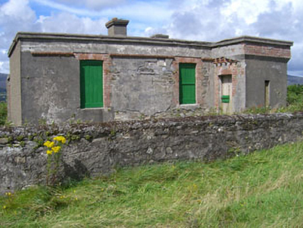 officer's house79 yd
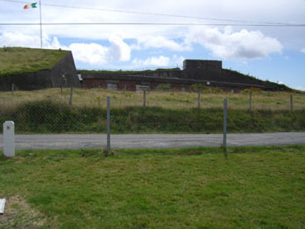 battery128 yd
 Bere IslandIsland · 1.9 mi
 KnockanalligMountain / peak · 2.8 mi
 Hungry HillMountain / peak · 3.4 mi
 Mare's Tail WaterfallViewpoint · 4.0 mi
 Dinish IslandIslet · 4.0 mi
 Battle of Bantry BayMajor battlefield · 4.1 mi
 Peakeen Ridge Loop WalkWalking route · 4.9 mi
 Siege of DunboySiege · 4.9 mi
 Castle (in Ruins)Castle, tower house · 4.9 mi
 Dunboy CastleCastle · 4.9 mi
More archaeology and monuments in County Cork · All of County Cork
What do you know about this place?