What is recorded here
In rough pasture, on S-facing slope at foot of Hungry Hill. Cluster of five rectangular and subrectangular house foundations, aligned N-S or E-W, of unknown date. Houses of grass-covered earthen bank (max. H 0.8m) some with stone facing; vary in length from 6.6m to 3.1m and in width from 3.9m to 2.85m. Subrectangular stone built annexe (3.5m E-W; 2.9m N-S) attached to S gable of one rectangular house; lower courses survive (H 0.55m; Wth 0.65m); doorway to W. Most easterly house cut by modern sheep shelter to W and by field boundary to E. Small oval enclosure (2.7m NE-SW; 23m NW-SE), c. 6m N of houses, of rough stone walling (int. H 0.7m; ext. H 0.2m; Wth 1m); some stones set radially; narrow gap to S.
In rough pasture, on S-facing slope at foot of Hungry Hill. Cluster of five rectangular and subrectangular house foundations, aligned N-S or E-W, of unknown date. Houses of grass-covered earthen bank (max. H 0.8m) some with stone facing; vary in length from 6.6m to 3.1m and in width from 3.9m to 2.85m. Subrectangular stone built annexe (3.5m E-W; 2.9m N-S) attached to S gable of one rectangular house; lower…
From the National Monuments Service (Archaeological Survey of Ireland) record CO116-025
The monument record does not grant public access. Check the route and ask the landowner before entering private land.
- What survives
- Recorded monument
Places near here
Photo credits
- National Inventory of Architectural Heritage
- Ericpol ( talk ), Wikimedia Commons · CC BY-SA 3.0
- Jeff Buck, Geograph · CC BY-SA 2.0
- Ernest Riordan, Geograph · CC BY-SA 2.0
- Towel401, Wikimedia Commons · CC BY-SA 4.0
- Adriaen van Diest, Wikimedia Commons · Public domain
- Gordon Hatton, Geograph · CC BY-SA 2.0
Enclosure in Rossmackowen CommonsEnclosure · 994 yd post box1001 ydEnclosure in Rossmackowen CommonsEnclosure · 1195 ydHungry HillMountain / peak · 1730 ydMare's Tail WaterfallViewpoint · 1.8 miTrawnablahaBeach / strand · 1.8 miWaterfall HouseHouse · 1.9 miTrawnablahaBeach / strand · 1.9 miKnocknagreeMountain / peak · 2.1 miBere IslandIsland · 3.8 miBattle of Bantry BayMajor battlefield · 4.1 miDinish IslandIslet · 4.6 mi
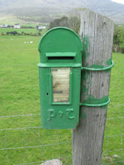 post box1001 ydEnclosure in Rossmackowen CommonsEnclosure · 1195 yd
 Hungry HillMountain / peak · 1730 yd
 Mare's Tail WaterfallViewpoint · 1.8 miTrawnablahaBeach / strand · 1.8 mi
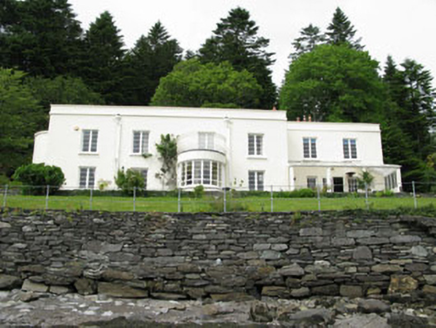 Waterfall HouseHouse · 1.9 miTrawnablahaBeach / strand · 1.9 mi
 KnocknagreeMountain / peak · 2.1 mi
 Bere IslandIsland · 3.8 mi
 Battle of Bantry BayMajor battlefield · 4.1 mi
 Dinish IslandIslet · 4.6 mi
More archaeology and monuments in County Cork · All of County Cork
What do you know about this place?