
What is recorded here
In rough peaty hill pasture, on a NW-facing slope overlooking Coomnagapple Glen on the W side of Hungry Hill. An oval area (c. 6.8m N-S; 4.8m E-W) defined by a collapsed drystone wall (T 0.5m; H 0.3m). Contiguous upright slabs (H 0.65m) were noted along the S arc. The interior is cut (D 0.4m) into the upslope along the SE-S arc to compensate for the hillslope. There is a break in the wall at the SE. The base course of the linear E-W wall (T 0.55m; H 0.2m) crosses the S half of the interior.
The above description is derived from 'The Archaeological Inventory of County Cork. Volume 5' (Dublin: Stationery Office, 2009).
Date of upload: 22 December 2009
The monument record does not grant public access. Check the route and ask the landowner before entering private land.
- What survives
- Recorded monument
Places near here
 Settlement cluster in Park (bear By.)Settlement cluster · 1195 yd
 Hungry HillMountain / peak · 1376 yd
 CairnCairn, unclassified · 1.0 mi
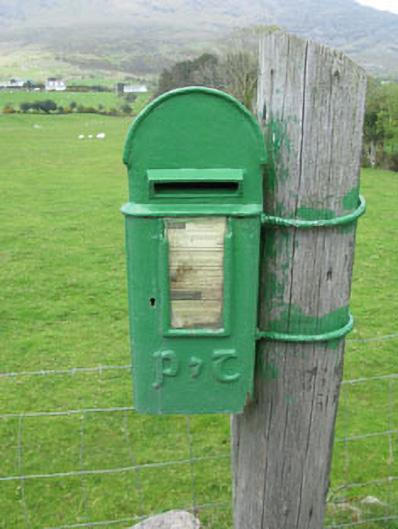 post boxpost box · 1.2 mi
 Holly HillMountain / peak · 1.5 mi
 Mare's Tail WaterfallViewpoint · 1.8 mi
 Mass-house in ShanacoumhaMass-house · 1.9 mi
 TrawnablahaBeach / strand · 2.1 mi
 Loughure IslandIslet · 2.8 mi
 Turk IslandIslet · 3.0 mi
 Rerrin LoopWalking route · 3.1 mi
 Beara WayWalking route · 3.5 mi
Other information
Photo: Credit not shown in the picture search · Rights wording not checked; contact us if this picture should be removed