
What is recorded here
Beneath rock face, along slight terrace of S-facing slope, in rocky mountain pasture. Rectangular structure (9.9m N-S; c. 2.4m E-W) with N end built up against rock face; S end open; side wall (max. H 1.2m; Wth 1.4m) of dry stone construction. Cross wall across N end probably to make animal shelter. Locally known as "penal church", field known as "pairc an tseipéil", nearby boulder burial (CO115-066---) known as "mass rock".
The above description is derived from the published 'Archaeological Inventory of County Cork. Volume 1: West Cork' (Dublin: Stationery Office, 1992). In certain instances the entries have been revised and updated in the light of recent research.
Date of upload/revision: 14 January 2009
The monument record does not grant public access. Check the route and ask the landowner before entering private land.
- What survives
- Recorded monument
Places near here
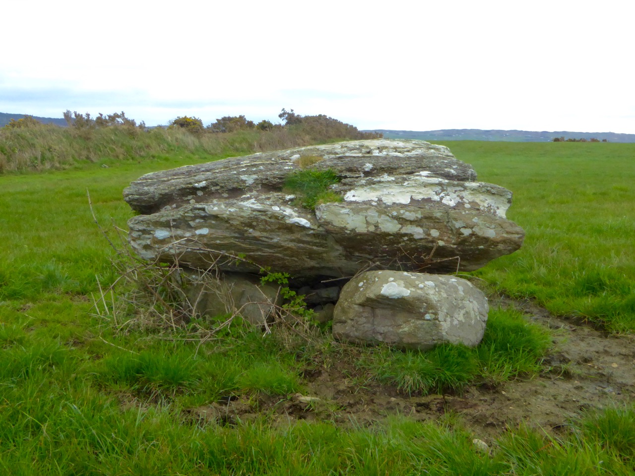 Boulder-burial in CappaghavuckeeBoulder-burial · 62 yd
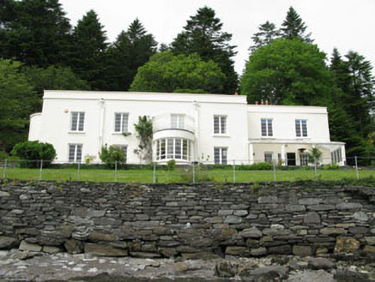 Waterfall Househouse · 567 yd
 TrawnablahaBeach / strand · 620 yd
 Holly HillMountain / peak · 803 yd
 Hut site in Rossmackowen CommonsHut site · 1534 yd
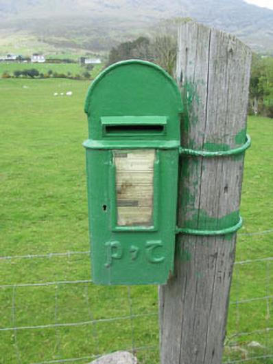 post boxpost box · 1.8 mi
 Turk IslandIslet · 1.9 mi
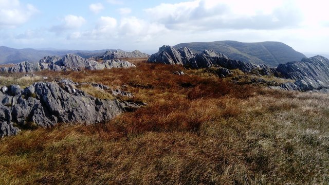 KnocknagreeMountain / peak · 2.1 mi
 Minane IslandIslet · 2.2 mi
 Rerrin LoopWalking route · 2.4 mi
 Beara WayWalking route · 2.7 mi
 Berehaven Battalion MemorialMemorial · 3.1 mi
Other information
Photo: Credit not shown in the picture search · Rights wording not checked; contact us if this picture should be removed