
What is recorded here
In rough hill pasture, in an area of cutaway bog on a SE-facing slope and within a network of pre-bog field boundaries (CO115-106004-). The remains of a circular hut site (diam. 3m) defined by a stone wall (T 0.55m; H 0.2m) which has collapsed inwards, partially obscuring the interior. The remaining lower course of the wall protrudes above the surface of the bog.
The above description is derived from 'The Archaeological Inventory of County Cork. Volume 5' (Dublin: Stationery Office, 2009).
Date of upload: 22 December 2009
The monument record does not grant public access. Check the route and ask the landowner before entering private land.
- What survives
- Recorded monument
Places near here
 CairnCairn, unclassified · 133 yd
 Holly HillMountain / peak · 744 yd
 famine farmArchaeological place · 1365 yd
 Mass-house in ShanacoumhaMass-house · 1534 yd
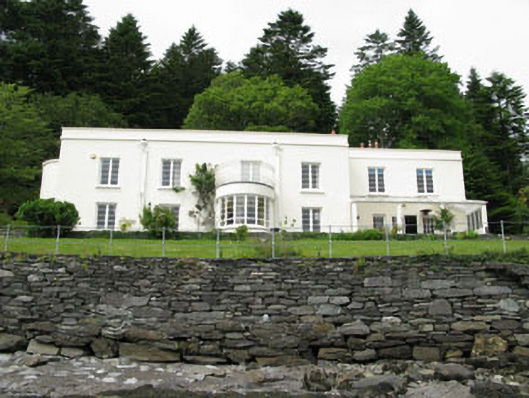 Waterfall Househouse · 1.1 mi
 TrawnablahaBeach / strand · 1.1 mi
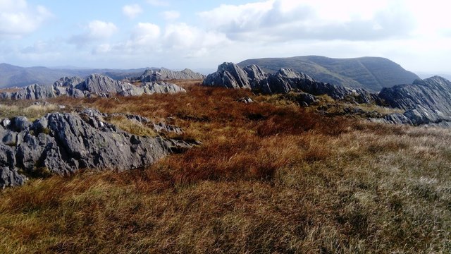 KnocknagreeMountain / peak · 1.5 mi
 Turk IslandIslet · 2.4 mi
 Rerrin LoopWalking route · 2.7 mi
 Beara WayWalking route · 2.8 mi
 Mare's Tail WaterfallViewpoint · 2.8 mi
 Minane IslandIslet · 3.0 mi
Other information
Photo: Credit not shown in the picture search · Rights wording not checked; contact us if this picture should be removed