What is recorded here
In a narrow pasture beneath Hungry Hill, a standing stone rises half a metre from the grass, aligned like a needle pointing across the valley. It is small enough to touch, yet old enough to have watched every storm pass over the slope. People may have set it there to mark a boundary, a burial, or a promise made under open sky. The hill keeps its hunger, the stone keeps its direction, and the valley continues to turn around them both.
In pasture, on break in SSW-facing slope, at foot of Hungry Hill. Subrectangular stone aligned NNE-SSW (H 0.7m; 0.65m x 0.3m).
The above description is derived from the published 'Archaeological Inventory of County Cork. Volume 1: West Cork' (Dublin: Stationery Office, 1992). In certain instances the entries have been revised and updated in the light of recent research.
Date of upload/revision: 14 January 2009
The monument record does not grant public access. Check the route and ask the landowner before entering private land.
- What survives
- Recorded monument
Places near here
 Enclosure in Rossmackowen CommonsEnclosure · 394 yd
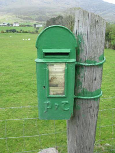 post boxpost box · 803 yd
 Settlement cluster in Park (bear By.)Settlement cluster · 815 yd
 Hungry HillMountain / peak · 1.1 mi
 Mare's Tail WaterfallViewpoint · 1.7 mi
 Holly HillMountain / peak · 1.8 mi
 batterybattery · 1.8 mi
 Loughure IslandIslet · 1.8 mi
 TrawnablahaBeach / strand · 2.2 mi
 Rerrin LoopWalking route · 2.3 mi
 Turk IslandIslet · 2.5 mi
 West Cork Sailing & Powerboating CentreHeritage attraction · 3.4 mi