What is recorded here
On lower slopes of Slieve Miskish Mountains with commanding view over Bantry Bay to S. Rectangular stone aligned E-W (H 0.95m; 0.7m x 0.35m). Boulder burial (CO115-03802-) 150m to WSW. (O'Brien 1970, 15).
The above description is derived from the published 'Archaeological Inventory of County Cork. Volume 1: West Cork' (Dublin: Stationery Office, 1992). In certain instances the entries have been revised and updated in the light of recent research.
Date of upload/revision: 14 January 2009
The monument record does not grant public access. Check the route and ask the landowner before entering private land.
- What survives
- Recorded monument
Places near here
 Holly HillMountain / peak · 520 yd
 Mass-house in ShanacoumhaMass-house · 572 yd
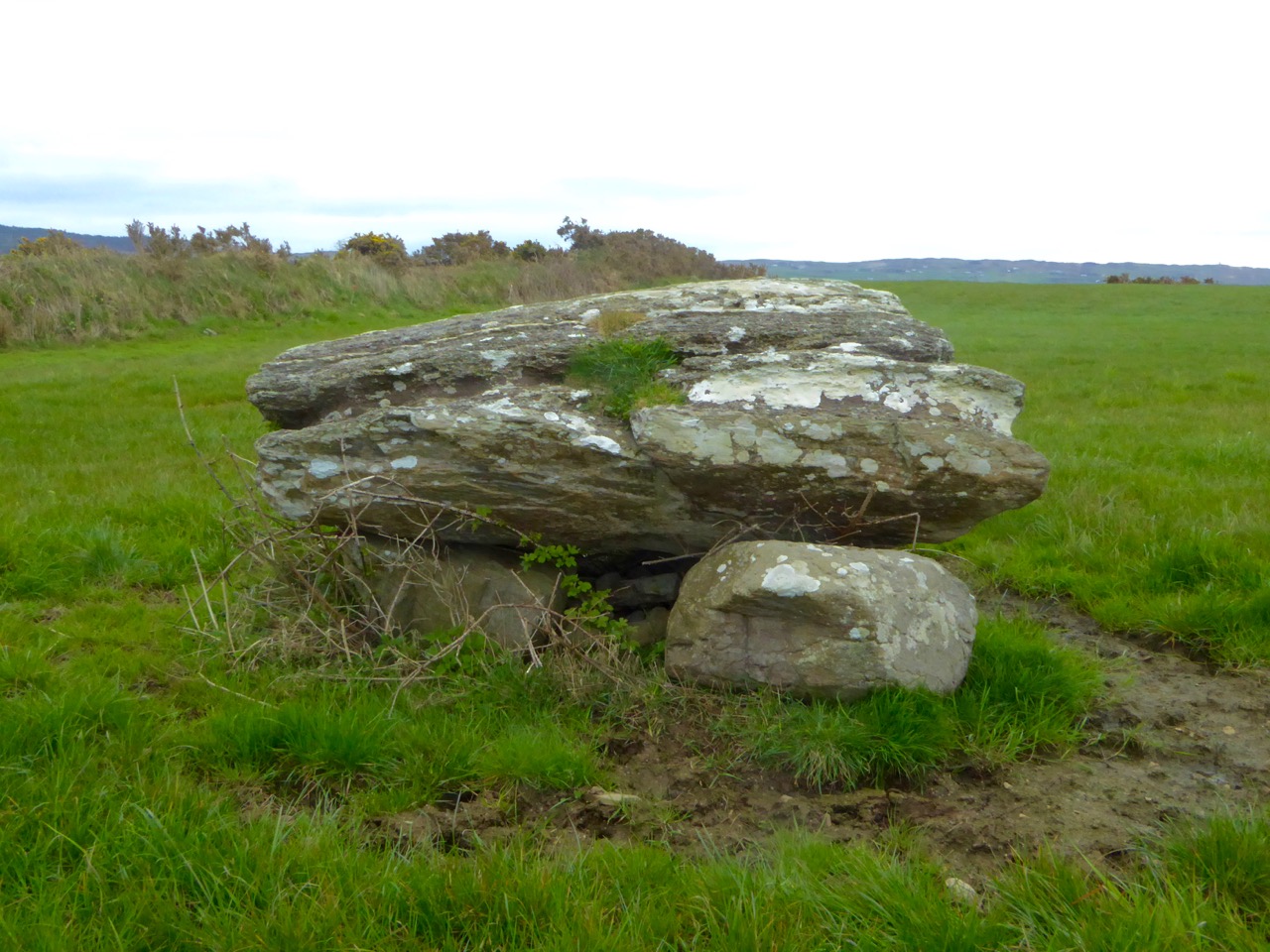 Boulder-burial in CappaghavuckeeBoulder-burial · 616 yd
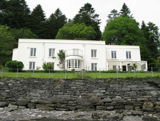 Waterfall Househouse · 734 yd
 TrawnablahaBeach / strand · 792 yd
 Hut site in Rossmackowen CommonsHut site · 1221 yd
 Turk IslandIslet · 1.8 mi
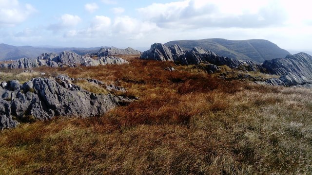 KnocknagreeMountain / peak · 2.1 mi
 Rerrin LoopWalking route · 2.2 mi
 Minane IslandIslet · 2.5 mi
 Beara WayWalking route · 2.9 mi
 Mare's Tail WaterfallViewpoint · 3.3 mi