What is recorded here
Standing stone in Rossmackowen Commons is an irregular stone aligned NE-SW in bogland looking S over Bantry Bay. It stands 1.5m high and measures 1.3m by 0.3m. People may have set it there to mark a boundary, honour a loss or point toward the water. The bay still moves past it, changing the light while the stone keeps its line.
In bogland looking S over Bantry Bay. Irregular stone aligned NE-SW (H 1.5m; 1.3m x 0.3m). (O'Brien 1970, 15).
The above description is derived from the published 'Archaeological Inventory of County Cork. Volume 1: West Cork' (Dublin: Stationery Office, 1992). In certain instances the entries have been revised and updated in the light of recent research.
Date of upload/revision: 14 January 2009
The monument record does not grant public access. Check the route and ask the landowner before entering private land.
- What survives
- Recorded monument
Places near here
 Hut site in Rossmackowen CommonsHut site · 425 yd
 CairnCairn, unclassified · 453 yd
 Holly HillMountain / peak · 634 yd
 Mass-house in ShanacoumhaMass-house · 1415 yd
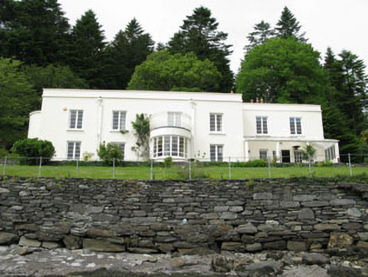 Waterfall Househouse · 1706 yd
 TrawnablahaBeach / strand · 1.0 mi
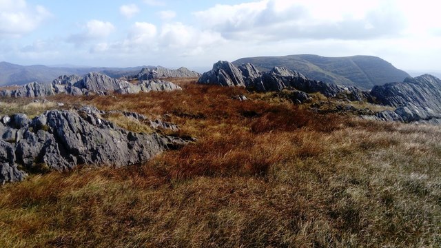 KnocknagreeMountain / peak · 1.7 mi
 Turk IslandIslet · 2.2 mi
 Rerrin LoopWalking route · 2.5 mi
 Mare's Tail WaterfallViewpoint · 2.8 mi
 Minane IslandIslet · 3.0 mi
 Beara WayWalking route · 3.0 mi